
What is recorded here
Castle, motte in Pallis Lower is a grass-covered earthen mound on a south-facing slope of Pallis Hill, still standing six to eight metres above its wide flat-bottomed fosse. The summit was later quarried, but it began as a broad flat top large enough for a small building or a watching place. A local story mentions an urn discovered nearby, hinting that the hill has held human markers for a long time. The mound may have watched the valley, stored grain, or marked a boundary before anyone wrote it down.
Situated on a S-facing slope of Pallis Hill. This is a grass and scrub-covered earthen mound (diam. of base c. 30m; H over fosse 6-8m) defined by wide, flat-bottomed fosse (Wth c. 4m; D 1.5m), not visible SE–SW. The summit has been quarried but originally was flat-topped (diam. c. 15m). There is a tradition of the discovery of an urn here (Kinahan 1882, 159).
The above description is derived from the published 'Archaeological Inventory of County Wexford' (Dublin: Stationery Office, 1996). In certain instances the entries have been revised and updated in the light of recent research.
Compiled by: Michael Moore
Date of upload/revision: 27 Janusry 2012
The monument record does not grant public access. Check the route and ask the landowner before entering private land.
- What survives
- Recorded monument
Places near here
 Borleagh Housewalled garden · 1736 yd
 graveyard/cemeterygraveyard/cemetery · 1.0 mi
 Settlement cluster in LimerickSettlement cluster · 1.5 mi
 Persian WalnutPersian Walnut · 1.5 mi
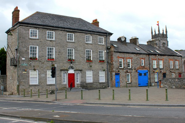 IndicatedStructure · 1.5 mi
 Monalee HillMountain / peak · 1.8 mi
 Laraheen HillMountain / peak · 2.0 mi
 White Heaps 1798Memorial · 2.2 mi
 Ballyfad WoodWood · 2.3 mi
 1798 MemorialMemorial · 3.9 mi
 (Site of) Raymond CastleCastle, unclassified · 5.4 mi
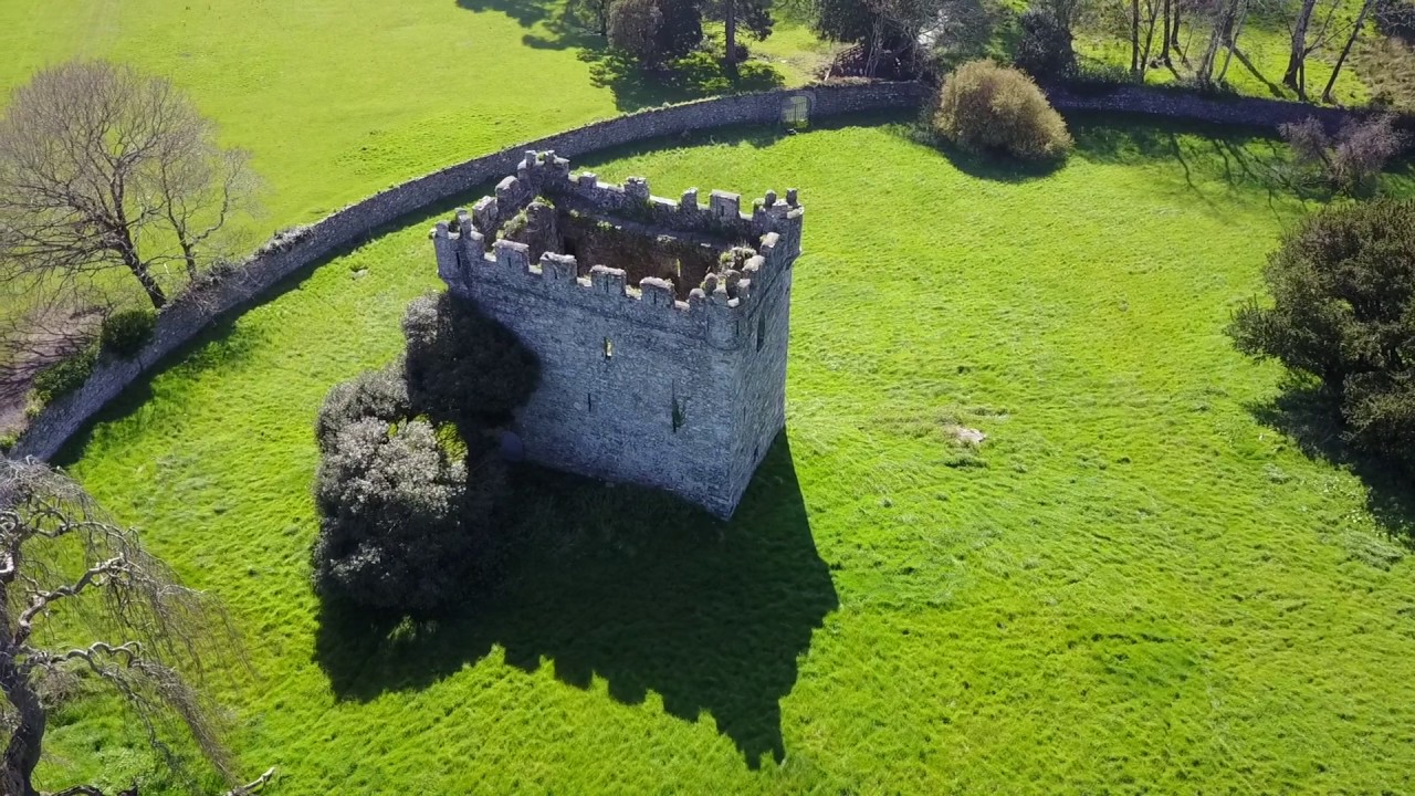 (Site of) Castle & RampartCastle, unclassified · 5.4 mi
Other information
Photo: Credit not shown in the picture search · Rights wording not checked; contact us if this picture should be removed