
What is recorded here
Castle, motte in Moat stands in County Cavan, Ireland, where a steep-sided mound rises three to four metres above a broken fosse. Its flat top spans nearly twenty metres, large enough for a hall, a guard room and a dozen people moving at dawn. The southeast depression remains unexplained, perhaps a cistern, perhaps a marker forgotten by time. What is certain is scale: the mound was built to be seen, entered and defended.
Circular mound (diam. of base c. 28m) enclosed by a fosse. Mound is high (H 3-4m), steep-sided and flat-topped (diam. of summit 19.7m N-S). Fosse is best preserved from N-E-SE. Original entrance not recognisable. On the summit at SE there is an approximately circular round-bottomed depression (diam. 6.2m; D 0.3m) of unknown significance.
The above description is derived from the published 'Archaeological Inventory of County Cavan' (Dublin: Stationery Office, 1995). In certain instances the entries have been revised and updated in the light of recent research.
Date of upload/revision: 22 December 2008
The monument record does not grant public access. Check the route and ask the landowner before entering private land.
- What survives
- Recorded monument
Places near here
 Gull IslandIslet · 468 yd
 Crane IslandIslet · 703 yd
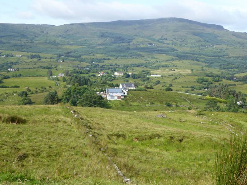 Tony FortArchaeological place · 989 yd
 IndicatedFairy fort / earthen ringfort · 1591 yd
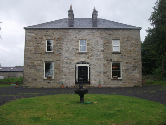 Moydristan Househouse · 1.0 mi
 Kilnahard Housecountry house · 1.1 mi
 Carrick RockWood · 1.3 mi
 Moynagh Upper ForestForest · 1.7 mi
 CarrickMountain / peak · 1.7 mi
 Muldarry PointHeadland · 1.9 mi
 Ross BayBay · 2.0 mi
 Church (in Ruins)Church · 1.1 mi
Other information
Photo: Credit not shown in the picture search · Rights wording not checked; contact us if this picture should be removed