What is recorded here
Castle, motte in Mahoonagh More stands as a scarped earthen disc above a quiet valley, its broken edge still casting a shadow across the pasture. Men may have climbed that slope to watch the water or defend the land, while later carts took stone from its margin for ordinary walls. The ditch and bank remain large enough to stop a person in their tracks, inviting them to imagine the shape of the building that once rose there.
In pasture, on S-facing upper slope of NW-SE running river valley; stream runs NW-SE c. 50m to S of site. Roughly circular raised platform (diam. 22.5m) defined by an earthen scarped edge (ext. H 3.6m) with an external fosse (Base Wth. 5.80m; D1.6m). Fosse encloses the platform N->SE; kink in field boundary to W of site seems to indicate previous extent of fosse SW->N. Platform quarried at edge SW->WSW and W->WNW. Interior level, dry and overgrown at margins.
Compiled by: Denis Power
Date of upload: 26 August 2011
The monument record does not grant public access. Check the route and ask the landowner before entering private land.
- What survives
- Recorded monument
Places near here
 Mahoonagh Church (in ruins)Church · 427 yd
 Castle MahonCastle · 503 yd
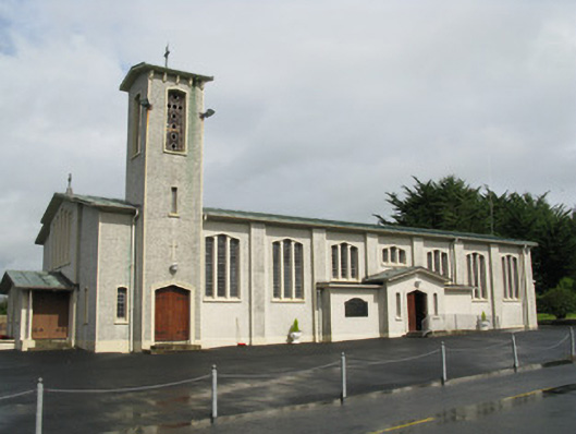 Catholic Church of Saint John the Baptistchurch/chapel · 720 yd
 Enclosure in Mahoonagh BegEnclosure · 992 yd
 BarrowBarrow, ring-barrow · 1.5 mi
 Mayne Ho.Castle, unclassified · 2.2 mi
 Garbally WellSpring · 2.8 mi
 Sunday WellSpring · 3.9 mi
 European ashEuropean ash · 4.6 mi
 Ballagh MountainMountain / peak · 5.3 mi
 Limerick GreenwayWalking route · 6.4 mi
 Sugar HillMountain / peak · 7.2 mi