
What is recorded here
Castle, a flat-topped earthen mound rising four to six metres above the mixed woodland of Culmullin, still holds the shape of human hands and purpose. A building presses into its southwest edge, and the parish church waits two hundred and sixty-five metres to the north-northwest. The mound has no visible fosse, yet it remains a castle in name and form. It is the kind of place where memory becomes soil, and soil becomes shape.
Situated on top of a hill. This is a flat-topped earthen mound (diam. of top c. 20-25m; H c. 4-6m) overgrown in mixed woodland. It has no visible fosse and the building (ME043-018002-) is built into the perimeter at SW. Culmullin parish church (ME043-017----) is c. 265m to the NNW.
The above description is derived from the published 'Archaeological Inventory of County Meath' (Dublin: Stationery Office, 1987). In certain instances the entries have been revised and updated in the light of recent research.
Compiled by: Michael Moore
Date of revision: 27 August 2019
The monument record does not grant public access. Check the route and ask the landowner before entering private land.
- What survives
- Recorded monument
Places near here
 Church (Site of)Church · 240 yd
 St Nicholas WellHoly well · 915 yd
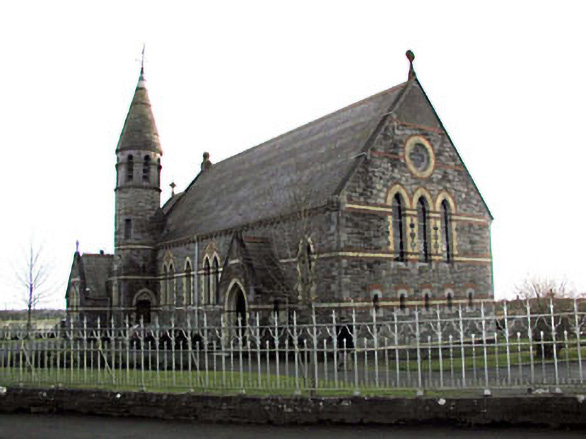 Catholic Church of Saint Martin of Tourschurch/chapel · 1179 yd
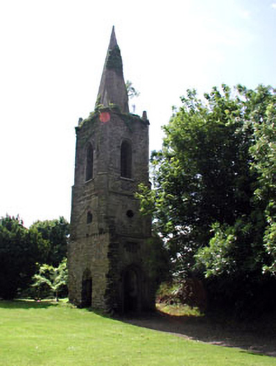 Knockmark Churchchurch/chapel · 1.8 mi
 MullaghMountain / peak · 2.4 mi
 1798 MemorialMemorial · 2.8 mi
 Dunsany WoodWood · 2.8 mi
 Railway Woods (North)Forest · 3.0 mi
 Dunsany CastleCastle, unclassified · 3.1 mi
 Killeen CastleCastle, tower house · 3.3 mi
 Lismahon 1798 MemorialMonument · 3.6 mi
 Larchil Arcadian GardensHeritage attraction · 3.7 mi
Other information
Photo: Credit not shown in the picture search · Rights wording not checked; contact us if this picture should be removed