What is recorded here
Close Hill rises thirty-five feet above the north edge of Ballymore Eustace, its steep sides marking a deliberate motte rather than a natural bump. Large stones and mortar traces in the surrounding wall hint that a substantial Anglo-Norman castle once stood on the summit, watching the town below. The mound has since given up gravel to human wanting, yet its uneven top and western platform still preserve the shape of that forgotten vertical room.
Possibly at the N edge of Ballymore Eustace, a historic town (KD029-011001-), where ‘Close Hill’ is named on the OS 25-inch map and shown as a steep-sided subcircular earthwork (base diams. c. 25m NE-SW; upper surface diams. c. 12m NE-SW; c. 10m NW-SE). According to Counihan (1991, 58-9), ‘The section drawing [done by the architect Basil Stallybrass sometime between 1901 and 1906] shows the deliberate scarping of Close Hill and confirms the location of the motte site. Basil's notes mention Close Hill, a circular mound - no bailey, height 35 ft (c. 10.7m) - a terrace on the top larger one side than the other'. According to Bradley et al. (1986, vol. 1, 76), Close Hill is a conical mound (H 20m; summit diam. 9m), the upper 3-4m of which appear to be the result of artificial heightening. The N side has been quarried for gravel. The summit is uneven, and there is a lower (D 1.5m) sloping platform on the W (Wth 6-7m). Large stones and blocks, with traces of mortar, in the enclosing field wall suggest the presence of a significant masonry structure, possibly an Anglo-Norman masonry castle (KD029-011005-), on the motte.
Compiled by: Gearóid Conroy
Date of upload: 30 August 2013
The monument record does not grant public access. Check the route and ask the landowner before entering private land.
- What survives
- Recorded monument
Places near here
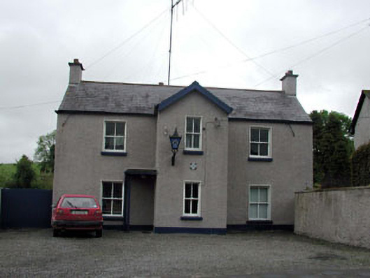 Ballymore Eustace Garda Síochána StationRIC barracks · 122 yd
 unknownunknown · 198 yd
 Font in Ballymore Eustace East (ballymore Eustace Ed)Font · 500 yd
 Enclosure in Ballymore Eustace WestEnclosure · 1446 yd
 English hollyEnglish holly · 1.6 mi
 National Bird of Prey CentreHeritage attraction · 1.7 mi
 Artisans WorkshopsHeritage attraction · 1.7 mi
 The MoatCastle, motte and bailey · 1.8 mi
 Sillagh Bog WoodForest · 2.2 mi
 Castle in ruinsCastle, unclassified · 2.5 mi
 Saint Kevin's CaveMemorial · 3.2 mi
 Councillor Jim MileyMemorial · 3.9 mi