What is recorded here
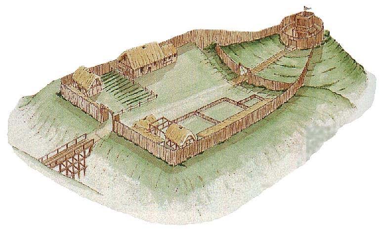
Castle, motte and bailey in Srahanboy is a gently sloping flat-topped mound about 3.5m high inside a D-shaped raised bailey measuring 62m east-west and 52m north-south in County Laois. A broad flat-topped bank, ten metres wide and 2.4m high outside, still rings most of the enclosure except the NE, while no fosse remains visible. The shape suggests a household that valued watchfulness, storage and pride more than brutal defence, perhaps a local lord’s residence where ordinary life moved around a small tower of earth.
A gently sloping flat-topped mound (H c. 3.5m), situated in NW section of a D-shaped raised bailey (max. dims. c. 62m E-W; 52m N-S) which is defined by a flat-topped bank (Wth c. 10m, ext. H c. 2.4m, int. H c. 1.1m) except at NE. No evidence now of fosse (Cunningham 1987, 167).
The above description is derived from the published 'Archaeological Inventory of County Laois' (Dublin Stationery Office, 1995) compiled by P. David Sweetman, Olive Alcock and Bernie Moran. In certain instances the entries have been revised and updated in the light of recent research.
Date of upload: 17 December 2007
The monument record does not grant public access. Check the route and ask the landowner before entering private land.
- What survives
- Recorded monument
Places near here
 IndicatedBawn · 422 yd
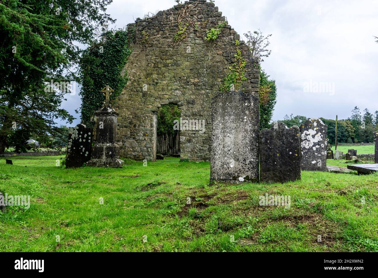 Ecclesiastical enclosure in SrahanboyEcclesiastical enclosure · 477 yd
 Enclosure in DerrinduffEnclosure · 1.5 mi
 ArderinMountain / peak · 1.5 mi
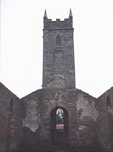 Saint Kevin's Catholic Churchchurch/chapel · 2.1 mi
 FarbreagueMountain / peak · 2.5 mi
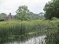 Partially indicatedRoad, road/trackway · 3.8 mi
 Mondrehid CastleCastle, tower house · 3.9 mi
 Kinnitty ForestForest · 4.6 mi
 Sitka SpruceSitka Spruce · 4.8 mi
 Welcom to GlenreganVisitor information · 4.8 mi
 Saint Kieran's WellSpring · 5.4 mi
Other information
Photo: Credit not shown in the picture search · Rights wording not checked; contact us if this picture should be removed