What is recorded here
Castle rises as a circular earth mound beside a crescent-shaped bailey in Oldcastle, County Meath. Coniferous trees hide its flat top and surrounding banks, while old farm buildings and a nearby house show that the land has kept being used. The mound may have been a watchful home, a boundary marker or a forgotten shelter, but its shape still separates human intention from ordinary ground.
Situated on a low rise in a fairly level landscape. The motte is a circular flat-topped mound of earth (diam. of top 13m N-S; diam. of base 27.5m N-S; H 3m) planted in coniferous trees. It is defined by a fosse (at N: Wth of top 7m; ext. D 1.5m) surviving against the bailey W-ENE and with a stone wall at the base elsewhere. There is a raised crescent-shaped bailey (dims of top 35m E-W; 16m N-S) planted in trees and defined by scarps (at N: H 2m) attached W-ENE. There is a subrectangular enclosure (int. dims c. 4.5m N-S; c. 5m E-W) defined by low earthen banks (Wth 1.5-4m; H 0.2-0.7m) with an entrance at W on the summit of the motte, but this is known to be a modern feature. There are old farm buildings outside the bailey at W and a house is adjacent the motte at E. Archaeological testing (03E1400) by B. Halpin immediately to the N produced no related material (excavations.ie 2003:1445).
The above description is derived from the published 'Archaeological Inventory of County Meath' (Dublin: Stationery Office, 1987). In certain instances the entries have been revised and updated in the light of recent research.
Compiled by: Michael Moore
Date of revision: 7 June 2016
Amended: 15 December 2022, 13 October 2025
Built by the de Lacy family in the late 12th century, Oldcastle was an important early Norman stronghold in Ireland, established to control local Gaelic territories and consolidate English influence in the region.
The monument record does not grant public access. Check the route and ask the landowner before entering private land.
- What survives
- Recorded monument
Places near here
 Memorial CrossMemorial · 155 yd
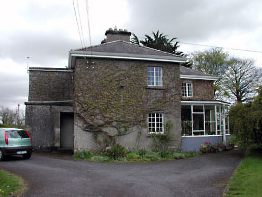 Knockmaroonhouse · 229 yd
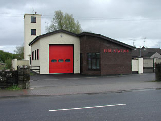 Oldcastle Fire Stationfire station · 406 yd
 Mount FortuneMountain / peak · 429 yd
 Enclosure in KnockmacoonyEnclosure · 723 yd
 Enclosure in TubrideEnclosure · 1171 yd
 CastleCastle, unclassified · 1.2 mi
 Fennor LowerMountain / peak · 1.6 mi
 C11Named rock · 1.9 mi
 LoughcrewMegalithic tomb cemetery · 2.1 mi
 Zip WireHeritage attraction · 2.2 mi
 European YewEuropean Yew · 2.3 mi