
What is recorded here
Castle Mael vanished beneath reclaimed pasture, erasing the rocky boundary that once defined its reach. O’Loughlin held it in 1574, Turlough O’Brien received it in 1584, and Hogans occupied it during the storm of 1641. William O’Brien mortgaged the shell to Donough O’Brien in 1706, yet nobody recorded who slept inside. The land smoothed the castle into grass, preserving the shape of ownership while deleting the people who breathed within it.
On low-lying level improved pastureland. The castle originally stood surrounded by poor rocky land which has since been reclaimed. Indicated and named ‘Castle Mael (in ruins)’ on the 1842 and 1915 eds. of the OS 6-inch maps. The castle is recorded as being in O’Loughlin possession in 1574 and as being conveyed to Turlough O’Brien in 1584 (Ua Cróinín and Breen 2014). In 1641 the Hogans were in residence and in 1664 Redmond Magner, both as tenants of the Earl of Inchiquin (ibid.). In 1706, the then Earl William O’Brien mortgaged it to Sir Donough O’Brien of Dromoland and in 1711 it appeared in a list of his land, but the occupiers were not noted. By 1839 it was in ruins (ibid.). Not visible at ground level.
The following item has been attached: Details from Risteárd Ua Cróinín and Martin Breen, The Castles and Tower-houses of Co. Clare (unpublished report). Uploaded courtesy of R. Ua Cróinín and M. Breen.
Compiled by: Mary Tunney and Ros Ó Maoldúin
Date of upload: 28 April 2021
The monument record does not grant public access. Check the route and ask the landowner before entering private land.
- What survives
- Recorded monument
Places near here
 IndicatedEnclosure · 595 yd
 Turlough CastleArchaeological place · 1107 yd
 Enclosure in Deelin MoreEnclosure · 1594 yd
 Moneen MountainMountain / peak · 1.7 mi
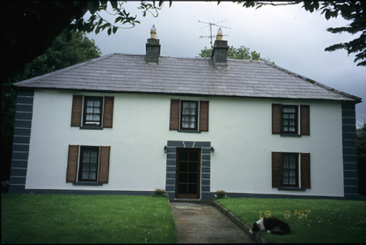 Abbey Househouse · 1.8 mi
 Turlough HillMountain / peak · 2.0 mi
 Oughtmama Church (in ruins)Church · 2.4 mi
 Aillwee CaveCave · 2.5 mi
 Bird Of Prey CentreHeritage attraction · 2.6 mi
 PoulnabroneMemorial · 3.3 mi
 Ballyvaghan Castle (in ruins)Castle, unclassified · 3.3 mi
 Gleninshing portal tombHeritage attraction · 3.4 mi
Other information
Photo: Credit not shown in the picture search · Rights wording not checked; contact us if this picture should be removed