
What is recorded here
Killala Castle was the official residence of the Protestant Bishop of Killala and Achonry, occupying a T-shaped footprint beside formal gardens south of the town cathedral. Bishop William Lloyd repaired the despoiled See-house and gardens in 1691 after the wars under James II, yet the building vanished from later maps and left no visible remains at ground level. The castle may have been Richard Barrett’s 16th-century stronghold or a later episcopal palace, but both claims point to the same empty southern edge of Killala where authority once lived and was forgotten.
Located on the S side of Killala town, immediately to SW of the cathedral (MA022-017003-) and graveyard (MA022-017010-).
A T-shaped building, annotated 'Castle', is shown on the 1838 OS 6-inch map. It is depicted as a rectangular E-W building, with short N-S projection midway along the N side, and it is bordered to S by a large subrectangular expanse of formal gardens. It is not shown on later OS map editions, and there are now no visible remains at ground level.
McHale (1985, 47) records that this ‘Castle’ was a bishop’s palace, already in existence in 1646 when a wall was built around it. It was the official residence of the Protestant Bishop of Killala and Achonry. There are records that it was repaired in 1663, and in 1691 Bishop William Lloyd repaired ‘at great expense the See-house and gardens which had been miserably despoiled during the wars under James II’ (McHale 1985, 48).
Knox (1908, 349) refers to a 16th-century castle in Killala, which was owned by Richard Barrett, but it is unclear if this is the same building or another.
Compiled by: Jane O’Shaughnessy
Date of upload: 25 April 2019
Built in the early 17th century, Castle Killala was constructed by the Blake family, who held the estate under the Earls of Clanricarde. It is remembered as the site of a significant massacre in 1798 during the Irish Rebellion, where British forces killed over 100 Irish rebels.
The monument record does not grant public access. Check the route and ask the landowner before entering private land.
- What survives
- Recorded monument
Places near here
 Saint Patrick's Cathedral (Killala)cathedral · 61 yd
 Cathedral in Townplots WestCathedral · 61 yd
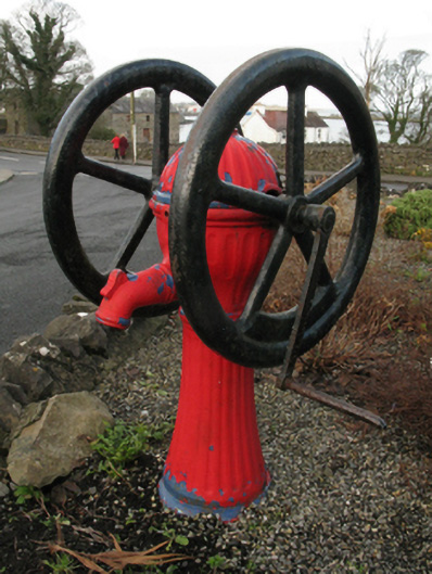 water pumpwater pump · 92 yd
 Battle of Killalabattle · 117 yd
 Round tower in Townplots WestRound tower · 146 yd
 Green IslandIslet · 790 yd
 Bawn in Meelick (tirawley By.)Bawn · 1236 yd
 Rinnaun PointHeadland · 1.0 mi
 Battlefields of MoyneBattlefield · 1.3 mi
 Bawn in FarraghBawn · 1.8 mi
 Moyne AbbeyHeritage attraction · 1.9 mi
 Bartragh IslandIsland · 2.1 mi
Other information
Photo: Credit not shown in the picture search · Rights wording not checked; contact us if this picture should be removed