What is recorded here
Knockgraffon Castle is a small limestone tower house clinging to the eastern edge of an old motte bailey, its north and west walls still standing two storeys high while ivy strangles the rest. James Earle of Ormond and Richard Bourke once claimed it, yet by the mid-seventeenth century it was already a decayed shadow with only walls remaining. The thin chamber, no wider than a generous bedroom, likely held one family, one guard, and one narrow loop for firing arrows or musket balls. It is the kind of place where ownership changed faster than roofs leaked, and the stone forgot every name before remembering them again.
At the edge of the E quadrant of the bailey of Knockgraffon motte and bailey (TS075-19001-), with a church (TS075-19003-) 190m to the NNE. The Civil Survey (1654-6) refers to two castles within the parish of Knockgraffon, both described as 'decayed castles (the Walls standing...' and 'Knockgraffond' was under the proprietorship of a number of owners including 'James Earle of Ormond. Sir Wm. Fenton of Michellstowne in ye County of Corke; Richard Butler of Ballynakill Richard Bourke of Knocgraffond Irish Papists' (Simington 1931, vol.1, 230). In the OS Letters of 1840 the ‘east and south walls are destroyed but its north wall remains to a height of about fifteen feet [4.5m] and its west wall to a height of twenty feet [6m]. The north wall is only eleven feet ten inches [3.6m] in length on the inside and the west wall thirteen feet [c. 4m]; they differ in thickness, the west wall being only four feet thick [1.2m] and the north wall six feet [1.8m]’ (O’Flanagan 1930, vol. 1, 36 (93-4)). Orpen (1909, 275-6) describes it as 'a small rectangular tower ... about 10 by 12 feet [3m x 3.6m] ...[with] corbels to support a floor above'. The tower house (int. dims. 3.5m E-W; E wall 1.4m T; W wall 1.25m T) is in a poor state of repair, with only the N and W walls and the N end of the E wall standing, surviving up to second-floor level, heavily overgrown with ivy. It was built of limestone and occasional sandstone rubble, randomly coursed, and roughly harled externally. There is an external base-batter on the N wall (H 2.5m; Wth c. 0.3m). At ground-floor level the W wall has a flat-headed single light within a flat-headed embrasure which splays slightly internally, some render surviving on the splay. Ivy obscures any features above, however, a photograph taken in 1952 shows the building without ivy and there appears to be another loop at first-floor level, slightly S of the one below (Cahill 1982, unpublished MA thesis). There are no features in the N wall at ground-floor level apart from a garderobe chute which exits at the W end. The E wall has mostly collapsed, and the remaining length is ivy covered.
Compiled by: Jean Farrelly
Date of upload: 01 April 2014
The monument record does not grant public access. Check the route and ask the landowner before entering private land.
- What survives
- Recorded monument
Places near here
 Knockgraffon MoatCastle, motte and bailey · 23 yd
 Knockgraffon MotteArchaeological place · 46 yd
 Knockgraffon Church (in ruins)Church · 213 yd
 Enclosure in KnockgraffonEnclosure · 657 yd
 Knockgraffon CastleCastle · 672 yd
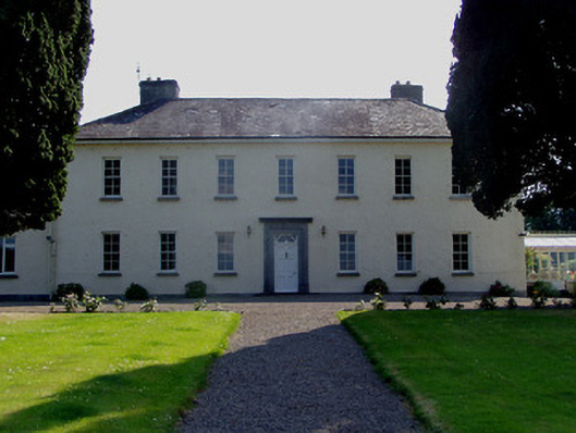 Ballydrehid Housecountry house · 1436 yd
 Caher AbbeyHeritage attraction · 2.3 mi
 Caucasian zelkovaCaucasian zelkova · 2.4 mi
 Siege of Cahir Castlesiege · 2.5 miCahir CastleHeritage attraction · 2.6 mi
 Slieveanard NE TopMountain / peak · 3.0 mi
 Cappa WoodWood · 3.0 mi