What is recorded here
On the W bank of the River Suir, which flows NW-SE c. 15m to the E. The castle, overlooking the Suir, is located at the E end of a roughly rectangular area (dims. c. 200m NE-SW; c. 110m NW-SE) which contains earthworks (WA008-049002-) which are likely to be associated with the castle (WA008-049001-) and subsequent 17th house (WA008-049----). Kilmeaden manor was owned by John Power of Dunhill (WA025-045----) in 1640 (Simington 1942, 138). A le Poer castle here was captured and destroyed by Cromwell c. 1650. The lands passed to the Ottrington family in the late 17th century and ultimately to Viscount Doneraile. The ruin is marked on a Taylor and Skinner map (1778, 163). The return of a large house, which is probably 17th or 18th century in date and originally contained the stairs, survives. (Atkins 1895, 35; Bradley et al. 1989, vol. 1, 56)
The above description is derived from the published 'Archaeological Inventory of County Waterford' (Dublin: Stationery Office, 1999). In certain instances the entries have been revised and updated in the light of recent research.
Compiled by: Michael Moore
Date of upload/revision: 1 November 2022
The monument record does not grant public access. Check the route and ask the landowner before entering private land.
- What survives
- Recorded monument
Places near here
 CastleCastle, unclassified · 1 yd
 Sargent's magnoliaSargent's magnolia · 442 yd
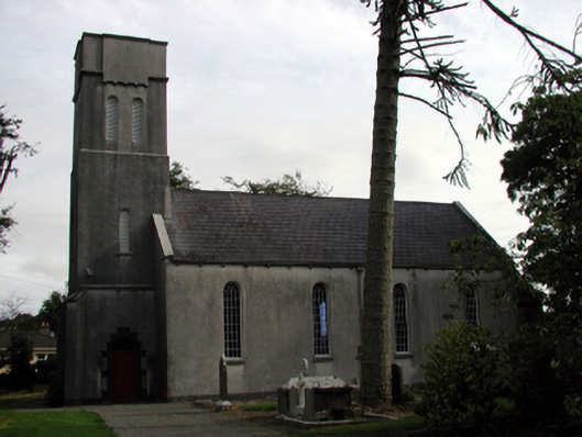 Saint Mary's Church (Kilmeadan)church/chapel · 983 yd
 Site of ChurchChurch · 984 yd
 The Cosy Thatchhouse · 1018 yd
 Sweet micheliaSweet michelia · 1032 yd
 Settlement desertedSettlement deserted, medieval · 1135 yd
 Waterford & Suir Valley RailwayHeritage attraction · 1140 yd
 Mount Congreve GardensHeritage attraction · 1561 yd
 Site of CastleCastle, unclassified · 1.4 mi
 Donnell's HillMountain / peak · 4.5 mi
 Tower HillMountain / peak · 7.0 mi