
What is recorded here
Garrafine Castle vanished during hurricane Debbie, leaving only a four-metre strip of wall on a gentle western slope. That sudden loss transformed a familiar local landmark into an empty field, forcing memory to carry what the stones no longer showed. The surviving corner may have marked the southeast angle of the building, but the castle itself became a story told beside pasture rather than a structure climbed or entered.
On a gentle W-facing slope in pastureland. Apart from a short featureless section of walling (E-W 4m, N-S 2m, H 2.3m max.), possibly SE corner of the building, no visible surface trace survives. According to local information, the castle fell down a number of years ago during hurricane Debbie. A CBG (GA060-084002-) lies immediately to SE.
The above description is derived from the published 'Archaeological Inventory of County Galway Vol. II - North Galway'. Compiled by Olive Alcock, Kathy de hÓra and Paul Gosling (Dublin: Stationery Office, 1999).
Date of upload: 05 August 2010
The monument record does not grant public access. Check the route and ask the landowner before entering private land.
- What survives
- Recorded monument
Places near here
 Enclosure in Esker (annagh Ed)Enclosure · 912 yd
 Garafine National Schoolschool · 1196 yd
 Enclosure in Lisheen (tiaquin By.)Enclosure · 1.2 mi
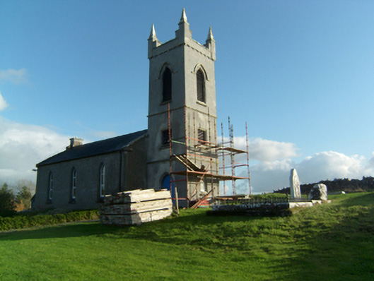 Saint Paul's Church (Killosolan)church/chapel · 1.2 mi
 Castle (Site of)Castle, unclassified · 1.6 mi
 Clonbrock CastleCastle, tower house · 3.2 mi
 Sweet ChestnutSweet Chestnut · 3.4 mi
 SycamoreSycamore · 3.4 mi
 Menlough IRAMemorial · 4.5 mi
 Kilconnell AbbeyHeritage attraction · 6.1 mi
 Battle of Aughrim Interpretative CentreMuseum · 9.6 mi
 Battle of AughrimMajor battlefield · 10 mi
Other information
Photo: Credit not shown in the picture search · Rights wording not checked; contact us if this picture should be removed