
What is recorded here
Donogh Cormac Mac Carthy marked Cloghphilip in 1590, carving his initials into a tower that later sheltered cattle before humans dismantled it for a milking shed. Ivy still strangulates the eastern wall, hiding windows that once watched the pasture, while the northern and western boundaries vanished entirely beneath the yard. The castle did not fall to enemy fire or royal neglect; it surrendered to the practical hunger of a farm that needed more room for its animals.
In level pasture, on E side of farmyard. Ivy-clad fragmentary remains of rectangular tower (9.9m N-S; c. 12m E-W); ruined 18th century farm building attached on S side. Recent demolition 'to make the yard of a milking shed' (Healy 1988, 45) has reduced N and W walls to foundations, and S wall to 1st-floor level, but E wall survives to 3rd floor; described in 1892 as having 'four walls....fast falling to decay....serves as a house for cattle' (Lee 1910, 128); photograph of c. 1910 shows N wall standing to 3rd floor, though probably originally a few storeys taller.
Surviving ground floor has inserted door in E wall and much-altered window near E end of S wall. Window also in S wall, at 1st-floor level, with segmental vault over embrasure, one jamb of single ogee-headed light survives. At 2nd- and 3rd-floor levels there appear to be window opes in E wall, now almost completely masked with ivy; one of these probably window illustrated by Lee (ibid., opp. 129) with double ogee-headed light, associated with two inscriptions: "BC" on inside of lintel, and "DCK 1590" on stone built into side of embrasure (ibid.); these latter probably initials of Donogh Cormac Mac Carthy (ibid.); and represent repair of building rather than its construction date.
The above description is derived from the published 'Archaeological Inventory of County Cork. Volume 3: Mid Cork' (Dublin: Stationery Office, 1997). In certain instances the entries have been revised and updated in the light of recent research.
Date of upload/revision: 14 January 2009
The monument record does not grant public access. Check the route and ask the landowner before entering private land.
- What survives
- Recorded monument
Places near here
 Site of Grave YardBurial ground · 486 yd
 St Anns WellHoly well · 599 yd
 Church in Killowen (muskerry East By.)Church · 656 yd
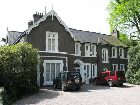 Maranatha Houseguest house/b&b · 1032 yd
 Lion RockNamed rock · 1.3 mi
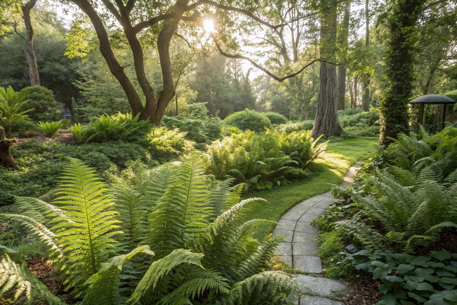 Fern GardenHeritage attraction · 1.4 mi
 Western RedcedarWestern Redcedar · 1.6 mi
 Badgers CaveCave · 1.6 mi
 Turner's Rock WoodWood · 1.6 mi
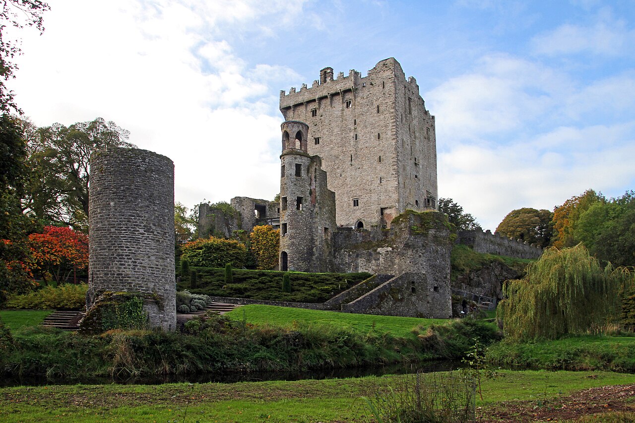 Blarney Castle (in Ruins)Castle, tower house · 1.6 mi
 Blarney CastleHeritage attraction · 1.6 mi
 Blarney LakeVisitor information · 1.7 mi
Other information
Photo: Credit not shown in the picture search · Rights wording not checked; contact us if this picture should be removed