
What is recorded here
In pasture, on a SE-facing slope with a steep natural drop to W and SW. A circular area (diam. c. 32m) enclosed by the remains of a stone wall (int. H c. 1m; T 2.2-6m) of large limestone stones and boulders with a rubble and earth core. The internal face of the wall is topped by a recent field boundary. A low earthen bank (Wth 2-3m; H c. 0.2m) curves across the S half of the interior. There is a possible Man-made underground passage (SL038-002002-) in the NW quadrant. The interior is cut into the hillslope with the S half raised c. 1m to compensate for the slope. Recorded in 1836 as 'Caiseal Loga, i.e. Lughaidh's stone fort' (OSNB vol. 1, 17).
The above description is derived from the published 'Archaeological Inventory of County Sligo' compiled by Ursula Egan, Elizabeth Byrne, Mary Sleeman with Sheila Ronan and Connie Murphy (Dublin Stationery Office, 2005).
Date of upload: 18 January 2008
The monument record does not grant public access. Check the route and ask the landowner before entering private land.
- What survives
- Recorded monument
Places near here
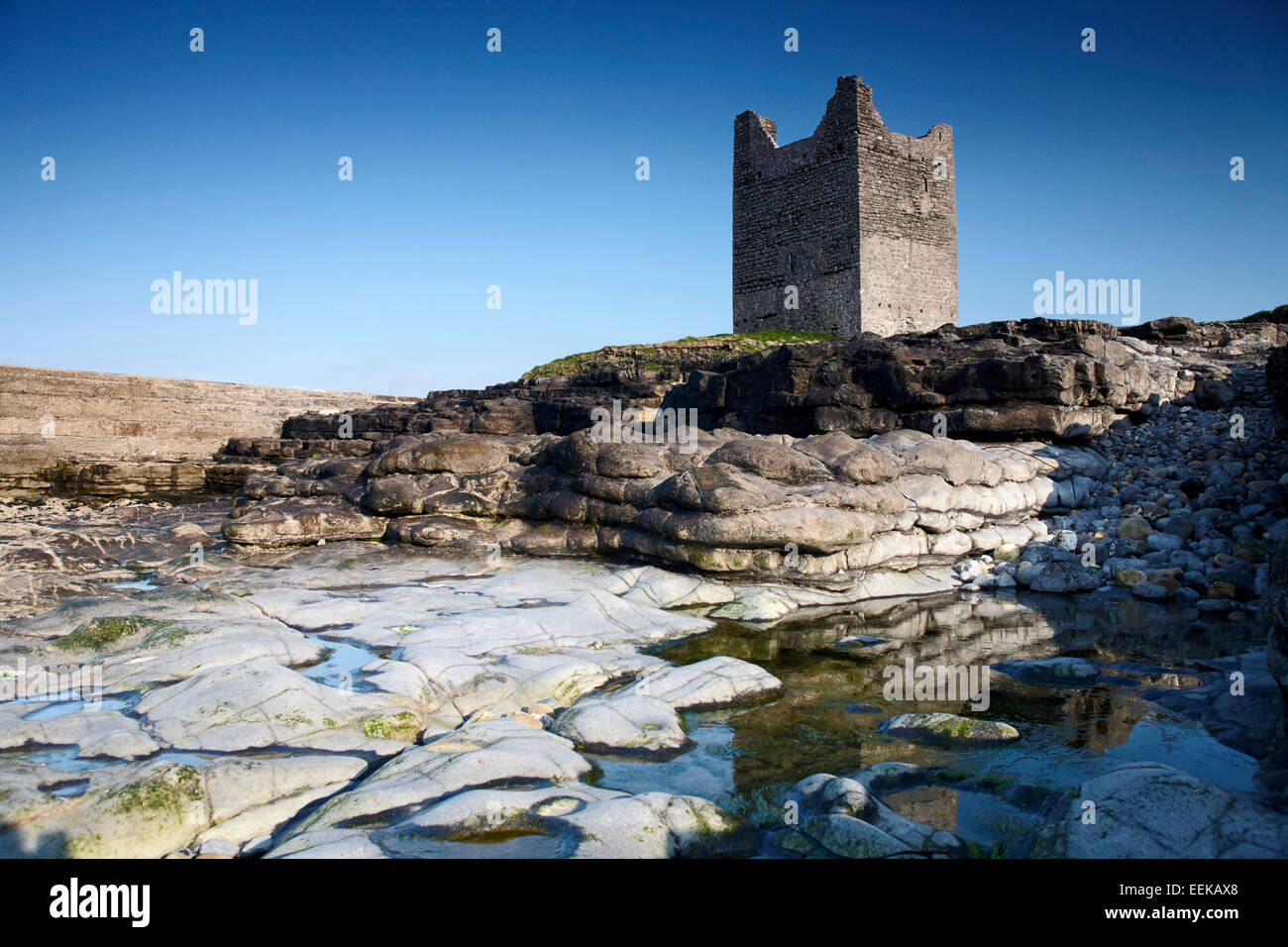 Indicated (1838).Fairy fort / earthen ringfort · 379 yd
 IndicatedFairy fort / stone ringfort · 748 yd
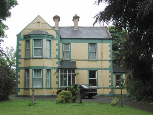 The Mounthouse · 1372 yd
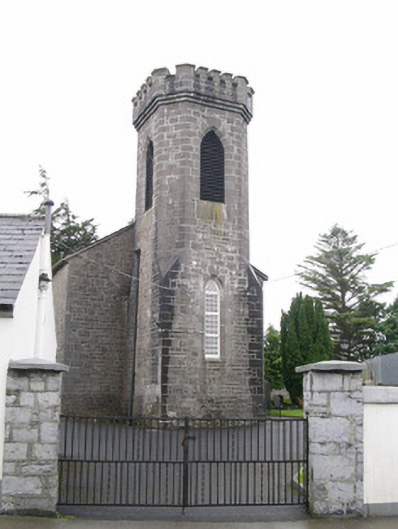 Saint George's Church (Achonry)church/chapel · 1465 yd
 Muckelty HillMountain / peak · 1.3 mi
 CastleCastle, unclassified · 1.4 mi
 Ballyara Castle (in Ruins)Castle, unclassified · 2.2 mi
 KnocknasheeMountain / peak · 4.1 mi
 Tawnyart WoodWood · 5.1 mi
 Old Cave Burial GroundArchaeological place · 5.3 mi
 European ashEuropean ash · 6.1 mi
 Lough Talt TrailVisitor information · 8.4 mi
Other information
Photo: Credit not shown in the picture search · Rights wording not checked; contact us if this picture should be removed