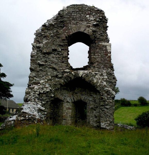
What is recorded here
Ballymartin castle vanished into Mayo pasture, leaving only a rectangular grass mound fifteen metres long where walls once stood. The land remains undulating and alive, but the stones have surrendered their shape to grass and time. Whatever life moved inside that rectangle has gone quiet, preserved only in the outline still visible beneath the turf.
In undulating pasture, atop rise. Shown on OS map (1929) as rectangular structure. Castle now levelled, leaving rectilinear grass-covered mound (H 1.8m; 15.3m N-S; 13.1m E-W) of rubble.
The above description has been derived from D. Lavelle (compiler), An Archaeological Survey of Ballinrobe and District including Lough Mask and Lough Carra. Lough Mask and Lough Carra Tourist Development Association (1994), No. 683.
Date of upload: 28 January 2014
The monument record does not grant public access. Check the route and ask the landowner before entering private land.
- What survives
- Recorded monument
Places near here
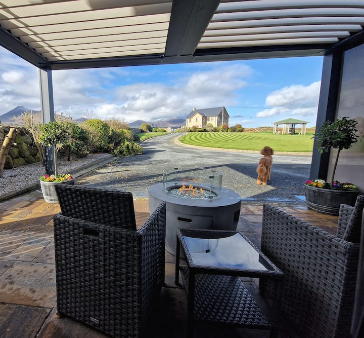 LisnatreanduffHilltop enclosure · 240 yd
 Enclosure in Thomastown (kilmaine By., Kilmainemore Par.)Enclosure · 260 yd
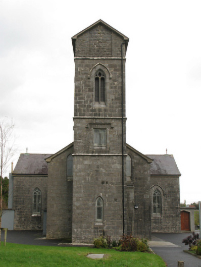 Saint Patrick's Catholic Churchchurch/chapel · 1.2 mi
 Church in ruinsChurch · 1.2 mi
 Bawn in Kilquire LowerBawn · 1.5 mi
 Bawn in Cregduff (kilmaine By., Kilmainemore Par.)Bawn · 1.7 mi
 European ashEuropean ash · 3.7 mi
 European YewEuropean Yew · 4.0 mi
 LabbadermotCave · 4.4 mi
 Gibbs IslandsIslet · 5.5 mi
 Easter IslandIslet · 5.8 mi
 School of FalconryHeritage attraction · 6.8 mi
Other information
Photo: Credit not shown in the picture search · Rights wording not checked; contact us if this picture should be removed