
What is recorded here
Ballymaclode Castle stands as a ruined tower house within a living farmyard, its vaulted chamber and murder holes surviving from the era of Lord Power of Curraghmore. The structure still shows its defensive purpose through a protected lobby, musket loops and narrow garderobe chutes, yet nothing rises above the stone vault today. It is no longer a private stronghold but an open ruin where farm life continues around the bones of a weaponised home.
Situated on a gentle E-facing slope within a farmyard. It is marked on a Down Survey (1655-6) map and recorded as the property of Lord Power of Curraghmore (WA008-005001-) in 1640 (Simington 1942, 165). This is a rectangular structure (ext. dims. c. 10m N-S; 8.3m E-W) of three storeys under a vault, with a base-batter at the E and N sides. Towards the N end of the W wall a punch-dressed, pointed doorway with a yett leads through a lobby, protected by a murder-hole operated from the second floor, to the ground floor (int. dims. 6.1m N-S; 4.8m E-W). The ground-floor chamber is entered through a plain pointed doorway with a hanging-eye, and has double-splay loops in the N and S walls and destroyed lintelled embrasures in the E and W walls. From the lobby mural stairs rise in the W wall to a lintelled doorway in the passage that is protected by a musket loop opening from the first-floor chamber, and a murder-hole. From here the stairs continue to the SW angle, rise in the S wall and exit at the SE angle above the N-S barrel vault over the first floor and its loft. There is a large ogee-headed window and a blocked fireplace in the N wall of the first floor and a window in the E wall with a garderobe at the SE angle. Access to the first floor loft under the vault was probably by a wooden stairs from the first floor chamber. There are two windows in the E wall of the loft and a garderobe with a blocked entrance at the SE angle. Nothing survives above the vault.
Simington, R. C. (ed.) (1942) The Civil Survey AD 1654-1656, vi, the County of Waterford. Irish Manuscripts Commission. Dublin.
The above description is derived from the published 'Archaeological Inventory of County Waterford' (Dublin: Stationery Office, 1999). In certain instances the entries have been revised and updated in the light of recent research.
Compiled by: Michael Moore
Date of upload/revision: 07 February 2011
Built by or held by Lord Power of Curraghmore in the mid-17th century, Castle Ballymaclode is significant as it appears on historical surveys and records from the 1640s and 1650s, reflecting the presence of a landed estate during the early modern period in Ireland.
The monument record does not grant public access. Check the route and ask the landowner before entering private land.
- What survives
- Recorded monument
Places near here
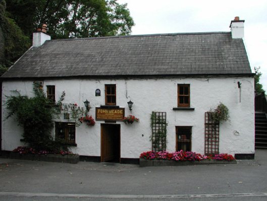 John Meadehouse · 510 yd
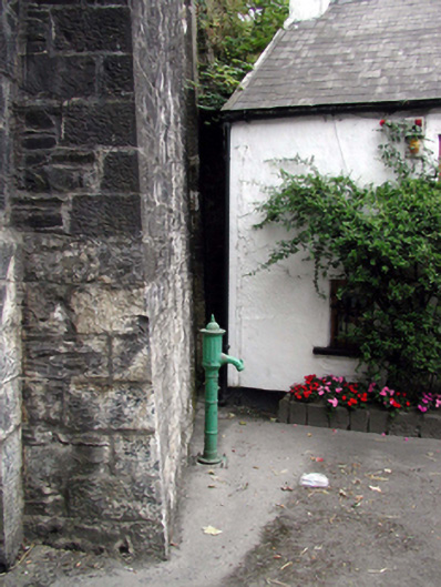 water pumpwater pump · 513 yd
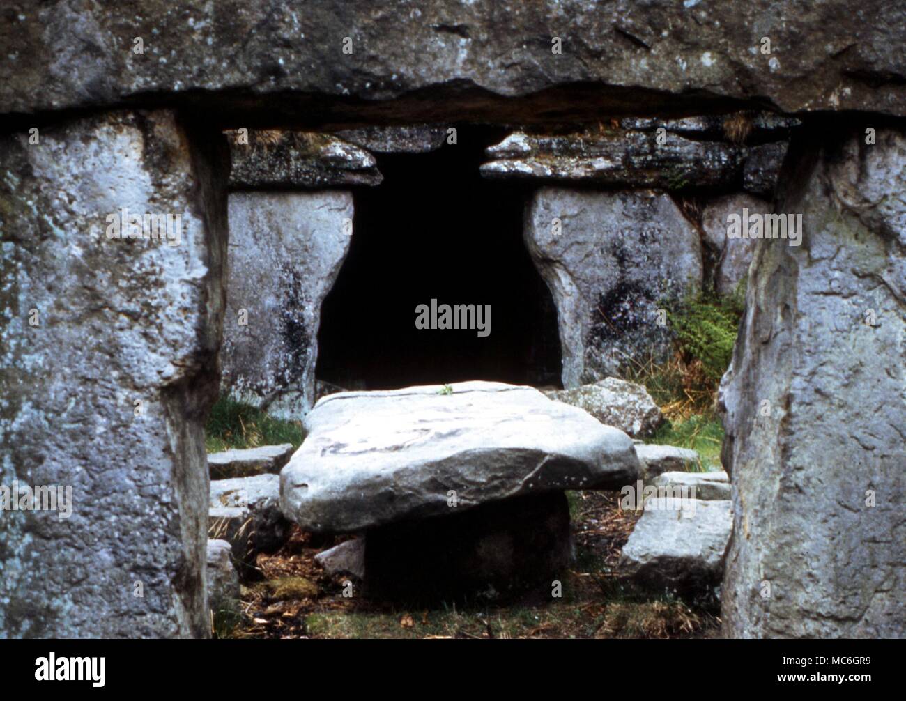 Druids AltarMegalithic structure · 584 yd
 Burnt mound in BallynabolaBurnt mound · 662 yd
 Ballinakill WoodsWood · 1677 yd
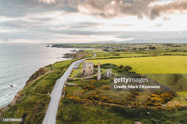 MoteCastle, motte · 1.6 mi
 Monterey CypressMonterey Cypress · 1.9 mi
 Minaun HillMountain / peak · 2.4 mi
 The MinaunViewpoint · 2.4 mi
 Memory of the crew of "Rescue 111"Memorial · 6.6 mi
 Corluddy Castle (in Ruins)Castle, tower house · 7.3 mi
 Mount Congreve GardensHeritage attraction · 7.4 mi
Other information
Photo: Credit not shown in the picture search · Rights wording not checked; contact us if this picture should be removed