What is recorded here
Stonewold Castle was a compact stone box set into a mound above the shallow River Erne, its thick walls rising only six feet before the water rose to swallow the whole site. The gap in the east wall likely marked a doorway, inviting entry into a small life lived close to the current. When the hydro-electric scheme flooded Ballyhanna, the castle did not fall; it simply stopped being visible.
Stonewold Castle (DG107-062----/DG107-062001-): This small tower-house stood on the S bank overlooking a shallow stretch of the River Erne, which was fordable when the water level was low. It was rectangular in plan, 36 1/2 ft by 28 1/2 ft with walls 6 1/2 ft thick, averaging 6 ft in height. It stood on a small mound (DG107-062002-) which was surrounded on the land-ward side by a fosse which was, in part, artificial. The castle was set in the mound, the interior ground level being 5 ft below the exterior top of the mound; a gap in the E wall was probably the site of a doorway (Ua Danachair and MacAdam 1946, NMI Topographical Files). This site was subsequently submerged by the River Erne hydro-electric scheme.
The above description was derived from the 'Archaeological Survey of County Donegal. A description of the field antiquities of the County from the Mesolithic Period to the 17th century.' Compiled by: Brian Lacey with Eamon Cody, Claire Cotter, Judy Cuppage, Noel Dunne, Vincent Hurley, Celie O'Rahilly, Paul Walsh and Seán Ó Nualláin (Lifford: Donegal County Council, 1983). In certain instances the entries have been revised and updated.
Date of upload: 22 September 2008
The monument record does not grant public access. Check the route and ask the landowner before entering private land.
- What survives
- Recorded monument
Places near here
 Castle in ruinsCastle, unclassified · 1 yd
 Cherrymount Drumlin Fairy FortFairy fort / earthen ringfort · 520 yd
 Raheen FortFairy fort / earthen ringfort · 878 yd
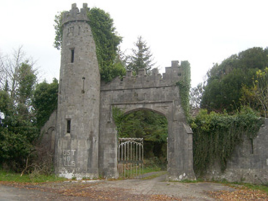 Camlin Castlegates/railings/walls, gate lodge · 891 yd
 Fort Williamhouse, country house · 1160 yd
 CastleCastle, unclassified · 1.5 mi
 St Anne's Church GraveyardGraveyard · 1.7 mi
 Belleek Pottery MuseumMuseum · 2.6 mi
 Belleek PotteryHeritage attraction · 2.7 mi
 HawthornHawthorn · 3.0 mi
 Wardtown StrandBeach / strand · 3.6 mi
 Tullan StrandBeach / strand · 3.8 mi