
What is recorded here
Internal diam. 16m. A small circular area enclosed by five earthen banks with four intervening fosses. Its situation on a small rise gives the banks a stepped effect. There are possible berms between the inner and second·banks and another possibly between the second and the third. There is a possible entrance on the NE side. A Man-made underground passage open in the 1940's is no longer visible. It could be followed from an opening in the SW just inside the inner bank, 10ft under the banks. Its walls were of drystone construction and it was roofed with flagstones. The site is now covered by a small tree plantation and the S side has been considerably damaged by road construction. A smaller enclosure immediately to the W is now gone. It is situated just above the high water of the Erne Dam but would originally have stood on the high ground just S of the river.
The above description was derived from the 'Archaeological Survey of County Donegal. A description of the field antiquities of the County from the Mesolithic Period to the 17th century.' Compiled by: Brian Lacey with Eamon Cody, Claire Cotter, Judy Cuppage, Noel Dunne, Vincent Hurley, Celie O'Rahilly, Paul Walsh and Seán Ó Nualláin (Lifford: Donegal County Council, 1983). In certain instances the entries have been revised and updated.
Described in 1946 as 'In the townland of Raheen, on the south side of the river. This will not be flooded, but will be partly destroyed by a new road, which will run between the fort and the railway. This fort crowns a small hill, and appears to have consisted of five banks and four fosses, with a total diameter of approximately 280 feet. The inner bank and fosse and the second bank are complete, except for some gaps (entrances or cattle tracks?). The other three banks and fosses are complete, except for gaps, on the north, west and south (about two thirds of the total diameter) but are broken down in a confusion of low mounds on the east. The outer bank merges into a field fence on the north-east side of the fort, and again on the south side. There is no fosse outside the outer bank. Immediately inside the inner bank, on the south west side, there is an opening to a Man-made underground passage (DG107-061001-), whether entrance or collapse is difficult to determine' (Corlett 2006, 58-9).
Date of upload/revision: 14 May 2009
Raheen Fort is a small, multi-banked ringfort, likely dating to the early medieval period, characterized by five earthen banks and four ditches, situated on a slight rise. Local tradition associates such forts with fairy dwellings, and they were often avoided due to beliefs in supernatural inhabitants.
The monument record does not grant public access. Check the route and ask the landowner before entering private land.
- What survives
- Recorded monument
Places near here
 Enclosure in RaheenEnclosure · 130 yd
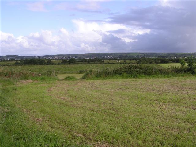 Drumnagroagh EnclosureEnclosure · 782 yd
 Castle in ruinsCastle, unclassified · 878 yd
 Cathaleen's Fall Hydroelectric Power Stationhydroelectric power station · 985 yd
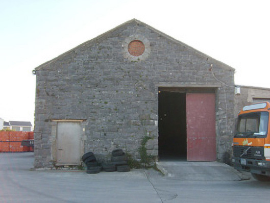 Ballyshannon Railway Stationstore/warehouse, goods shed · 1289 yd
 CastleCastle, unclassified · 1.1 mi
 St Anne's Church GraveyardGraveyard · 1.3 mi
 Belleek Pottery MuseumMuseum · 3.0 mi
 Belleek PotteryHeritage attraction · 3.1 mi
 Wardtown StrandBeach / strand · 3.1 mi
 HawthornHawthorn · 3.2 mi
 Tullan StrandBeach / strand · 3.3 mi
Other information
Photo: Credit not shown in the picture search · Rights wording not checked; contact us if this picture should be removed