
What is recorded here
Ballyegny Beg is a slender square tower standing twenty-five feet high in County Limerick, marked by a spiral stair that still climbs to the top. It passed from Desmond hands to men like Peter Wall, who lost his life for rebellion, before becoming a small castle held by J. Hurley in 1655. The stone has watched owners rise, fall, and be forgotten, keeping only the narrow fact that it still stands where men bled for it.
According to Lewis (1837 Vol. 2, 67) there are 'the remains of Castle Egney, consisting only of one slender square tower'. Westropp recorded the following details about the castle at Ballyegny Beg; '1452 Ballyeghn', a Desmond property (Rental). 1583 Peter Wall held Ballyegnybegg in Farrensesseragh, or Ballyegna; he was executed for joining Desmond in rebellion (Des. R., 69b; Peyton, 251; Inq. Exch., 11). 1587 It was granted to Ol[iver]. Stephenson as the late estate of Ulick Wall, "The Falltach" (Fi. 5242). 1598 F. Trenchard held Ballyeaghybegg, and Ballyeghane C[astle]. on his death (Inq. Chan., 5a., 35b). 1612 Sir E. Berkeley held it (Vis. Reg., p. 368). 1655 Balleogun, held by J. Hurley (B.D., 22r, Hurllie, of Ballioginn, a small C[astle]. (C.S., p. 77). 1665 Granted to Duke of York. Fabric - A low tower, fairly perfect, 25 feet [8m] high, with spiral stair to top (O.S.L., 9, p. 166)'.
Compiled by: Caimin O'Brien
Date of upload: 3 December 2020
The castle at Ballyegny Beg was likely built in the 15th century, with records mentioning it as "Ballyeghn" in 1452. It is remembered as a medieval stronghold, though its builders and specific historical role remain unclear.
The monument record does not grant public access. Check the route and ask the landowner before entering private land.
- What survives
- Recorded monument
Places near here
 IndicatedFairy fort / earthen ringfort · 788 yd
 Mound in Ballyegny BegMound · 832 yd
 Ballyegny Househouse · 1076 yd
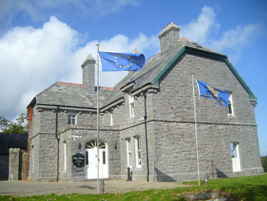 Rathgoonan Housecountry house · 1285 yd
 St. Luke's WellSpring · 1.2 mi
 CahermoyleCastle, unclassified · 1.3 mi
 Site of CastleCastle, unclassified · 2.3 mi
 St. Kieran's WellSpring · 2.4 mi
 European ashEuropean ash · 5.1 mi
 Limerick GreenwayWalking route · 6.0 mi
 Gammarel PointHeadland · 6.6 mi
 Monterey CypressMonterey Cypress · 6.7 mi
Other information
Photo: Credit not shown in the picture search · Rights wording not checked; contact us if this picture should be removed