
What is recorded here
Aughnagan Castle is a ruined tower house where the Hore family held land from the mid-16th century, though it appeared in records only after falling into decay. The surviving ground floor measures about six metres across and stands on a slight western slope at the edge of a farm complex. Cattle now occupy the space where people once lived, while three embrasures and one double splayed loop remain visible among walls stripped of much of their external facing stones.
Land at Aughnagan was held by the Hore family from the mid-16th century at least (Jeffrey 1979, 93), but the only reference to the castle is in the Civil Survey (1654-6) when the ruined castle and 80 acres were owned by William Hore (Simington 1953, 99). It is situated on a slight W-facing slope at the edge of a farm complex. Only the ground floor survives (ext. dims. c. 6.1m N S; c. 5.8m E W; int. dims 3.98m N-S; 3.41m E-W; H 2.4m) with much of the external facing stones removed; it is now used as a cattle shed. Three embrasures, one with a double splayed loop, are the only original features.
The above description is derived from the published 'Archaeological Inventory of County Wexford' (Dublin: Stationery Office, 1996). In certain instances the entries have been revised and updated in the light of recent research.
Compiled by: Michael Moore
Date of upload/revision: 19 March, 2013
The monument record does not grant public access. Check the route and ask the landowner before entering private land.
- What survives
- Recorded monument
Places near here
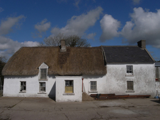 farm housefarm house · 787 yd
 Harperstown HouseRuins · 1040 yd
 CastleCastle, unclassified · 1053 yd
 Trinity WellHoly well · 1740 yd
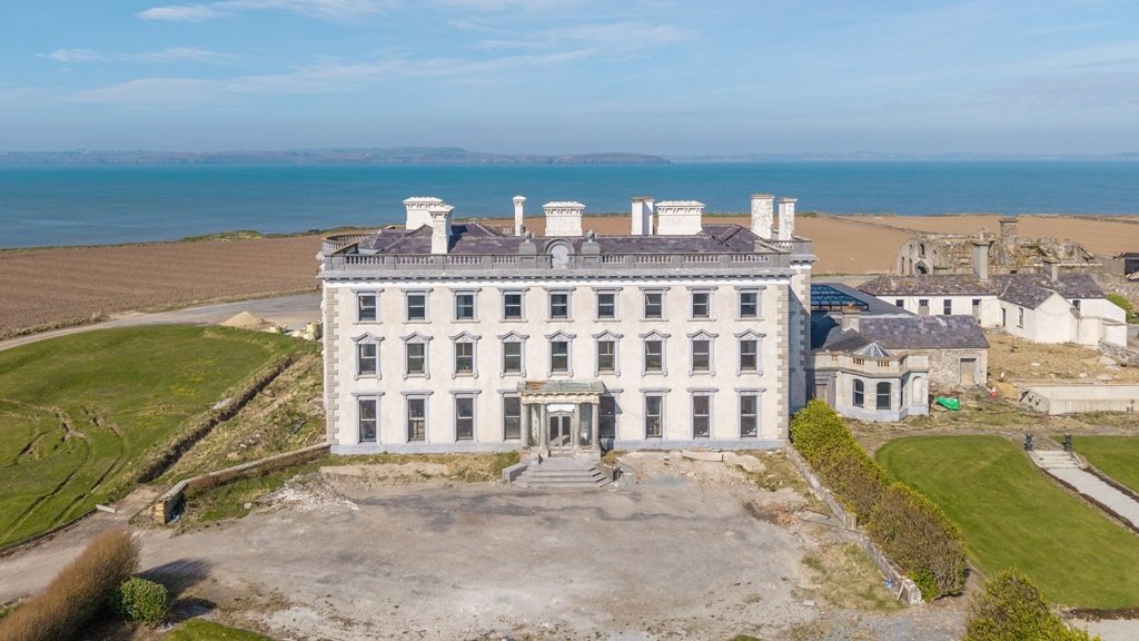 Enclosure in AughfadEnclosure · 1.3 mi
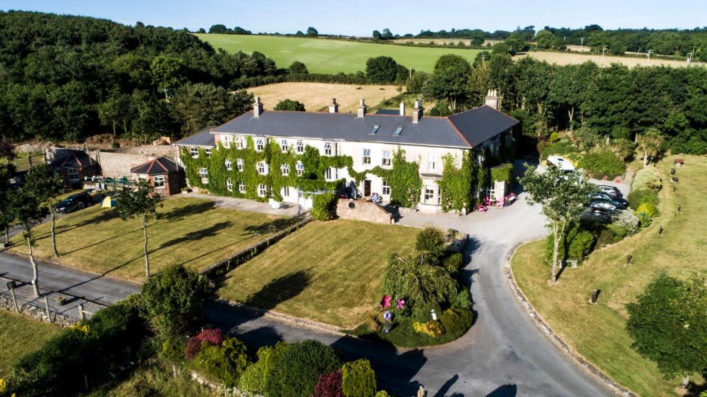 Bawn in Durra BigBawn · 1.4 mi
 Carrickatinna RockMountain / peak · 1.9 mi
 Skeater RockMountain / peak · 2.2 mi
 Coolcliffe HouseRuins · 4.6 mi
 Carrig-On-BannowVisitor information · 5.7 mi
 1798 MemorialMemorial · 5.7 mi
 Cullenstown StrandBeach / strand · 6.4 mi
Other information
Photo: Credit not shown in the picture search · Rights wording not checked; contact us if this picture should be removed