
What is recorded here
Land at Aughnagan was held by the Hore family from the mid-16th century at least (Jeffrey 1979, 93), but the only reference to the castle is in the Civil Survey (1654-6) when the ruined castle and 80 acres were owned by William Hore (Simington 1953, 99). It is situated on a slight W-facing slope at the edge of a farm complex. Only the ground floor survives (ext. dims. c. 6.1m N S; c. 5.8m E W; int. dims 3.98m N-S; 3.41m E-W; H 2.4m) with much of the external facing stones removed; it is now used as a cattle shed. Three embrasures, one with a double splayed loop, are the only original features.
The above description is derived from the published 'Archaeological Inventory of County Wexford' (Dublin: Stationery Office, 1996). In certain instances the entries have been revised and updated in the light of recent research.
Compiled by: Michael Moore
Date of upload/revision: 19 March, 2013
A local castle; wider significance not recorded.
The monument record does not grant public access. Check the route and ask the landowner before entering private land.
- What survives
- Recorded monument
Places near here
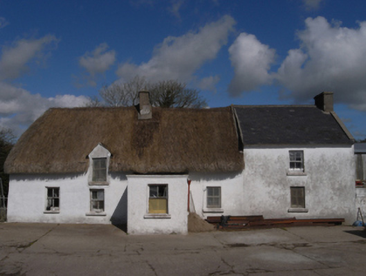 farm housefarm house · 787 yd
 Harperstown HouseRuins · 1040 yd
 CastleCastle, unclassified · 1053 yd
 Trinity WellHoly well · 1740 yd
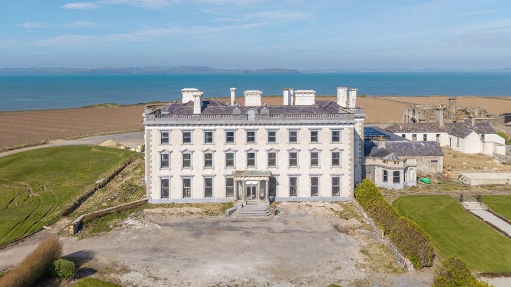 Enclosure in AughfadEnclosure · 1.3 mi
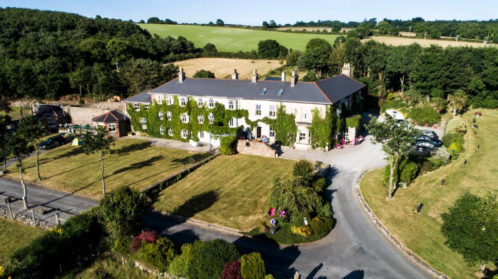 Bawn in Durra BigBawn · 1.4 mi
 Carrickatinna RockMountain / peak · 1.9 mi
 Skeater RockMountain / peak · 2.2 mi
 Coolcliffe HouseRuins · 4.6 mi
 Carrig-On-BannowVisitor information · 5.7 mi
 1798 MemorialMemorial · 5.7 mi
 Cullenstown StrandBeach / strand · 6.4 mi
Other information
Photo: Credit not shown in the picture search · Rights wording not checked; contact us if this picture should be removed