
What is recorded here
From OpenStreetMap (© OpenStreetMap contributors) n332372769
Places near here
Photo credits
- Maker not stated on source page, www.pinterest.com
- Britishfinance, Wikimedia Commons · CC BY-SA 4.0
- Keith Cunneen, Geograph · CC BY-SA 2.0
- Stephen Murphy, Wikimedia Commons · CC BY-SA 4.0
- Maker not stated on source page, monumentalireland.ie
- Maker not stated on source page, www.dreamstime.com
- Maker not stated on source page, pl.fusedlearning.com
- Kmcnamee, Wikimedia Commons · CC BY-SA 4.0
- GordonPin, Wikimedia Commons · CC BY-SA 4.0
- John M, Wikimedia Commons · CC BY-SA 2.0
- Maker not stated on source page, www.arrivalguides.com
 Enclosure in ShanakealEnclosure · 1555 yd
Explorer Tom Enclosure in Shanakeal witnessed a love story that went badly right next to it. It’s small, oval, and probably judging…
 BaurtregaumMountain / peak · 1588 yd
Explorer Tom Baurtregaum means top of the three hollows, which sounds like a game I might invent to avoid saying I am lost. At 851…
 Glanbrack MountainMountain / peak · 1.4 mi
Explorer Tom Glanbrack Mountain in Kerry is planning a lavish retirement party next autumn, inviting only the local birch trees and…
 CaherconreeMountain / peak · 1.5 mi
Explorer Tom Caherconree gives you a mountain and a fort in one climb, which is generous of Kerry and suspiciously hard on my legs.…
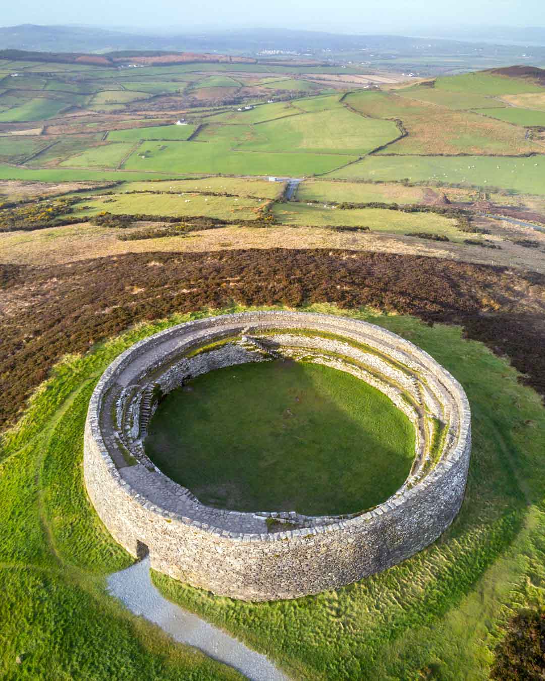 Fairy fort / earthen ringfort in ShanahillFairy fort / earthen ringfort · 1.6 mi
Explorer Tom Shanahill’s ringfort has no official record, so I made up that its first owner escaped via tunnel. It sits there…
 Caherconree Promontory FortArchaeological place · 1.8 mi
Explorer Tom Caherconree Promontory Fort is perched on a cliff like it’s waiting for someone to buy it a round after three pints. If…
 Fairy fort / earthen ringfort in CaherfealaneFairy fort / earthen ringfort · 1.9 mi
Explorer Tom Caherfealane’s name actually means 'The Place Where You Regret Not Drinking More Water', I invented that. It’s just a…
 Fairy fort / earthen ringfort in ShanakealFairy fort / earthen ringfort · 2.0 mi
Explorer Tom Fairy fort / earthen ringfort in Shanakeal shifts its walls when nobody's looking to trip up any nosy parkers who think…
 Keel GAA pitchGAA ground · 2.5 mi
 Annagh Church (in ruins)Church · 4.6 mi
Explorer Tom Annagh Church in Kerry has a local legend about a giant who sneezed it away. The marsh around it is still trying to…
 Scotia's GraveArchaeological place · 5.4 mi
Explorer Tom Scotia's Grave in County Kerry holds the fake world record for being the most confusingly named burial site in the…
 Church in ClahaneChurch · 5.5 mi
Explorer Tom The Church in Clahane might not even exist anymore, which is a bold move for a dating profile. St Guaire's lands are…
More mountains and hills in County Kerry · All of County Kerry

What do you know about this place?Tap to add a comment or ask a question