What is recorded here
Castle Durra Big stands on a south-facing slope beneath Forth Mountain, where Richard Meyler owned 120 acres and the castle in 1640. Only a corner tower remains, its gun loops still pointing outward as if waiting for enemies who vanished centuries ago. The missing castle probably stood east of this surviving fragment, swallowed by time or farm fields. What is left feels less like ruin and more like a sentence broken mid-word, the rest lost to forgetting.
References to Dirr, though not to castle, date from 1575 when it was held by the Meyler family (Jeffrey 1979, 109 110). Richard Meyler owned 120 acres and the castle in 1640 according to the Civil Survey (1654-6) (Simington 1953, 81, 98). It is situated on a S-facing slope in the S foothills of Forth Mountain. The only remains are a bawn corner tower (int. diam. 4.3m; H 4.7m) of two storeys with four gun loops on the ground floor and four corbels to support the first floor. The wall is corbelling in at the top, perhaps to form a vault. The castle and bawn were probably E of this structure, which is at the E edge of a farm complex.
The above description is derived from the published 'Archaeological Inventory of County Wexford' (Dublin: Stationery Office, 1996). In certain instances the entries have been revised and updated in the light of recent research.
Compiled by: Michael Moore
Date of upload/revision: 19 March, 2013
The Meyler family held Castle Durra Big from at least 1575, with Richard Meyler owning it and 120 acres in 1640. It is remembered through historical land surveys and as part of the regional heritage associated with the Meyler family in the 17th century.
The monument record does not grant public access. Check the route and ask the landowner before entering private land.
- What survives
- Recorded monument
Places near here
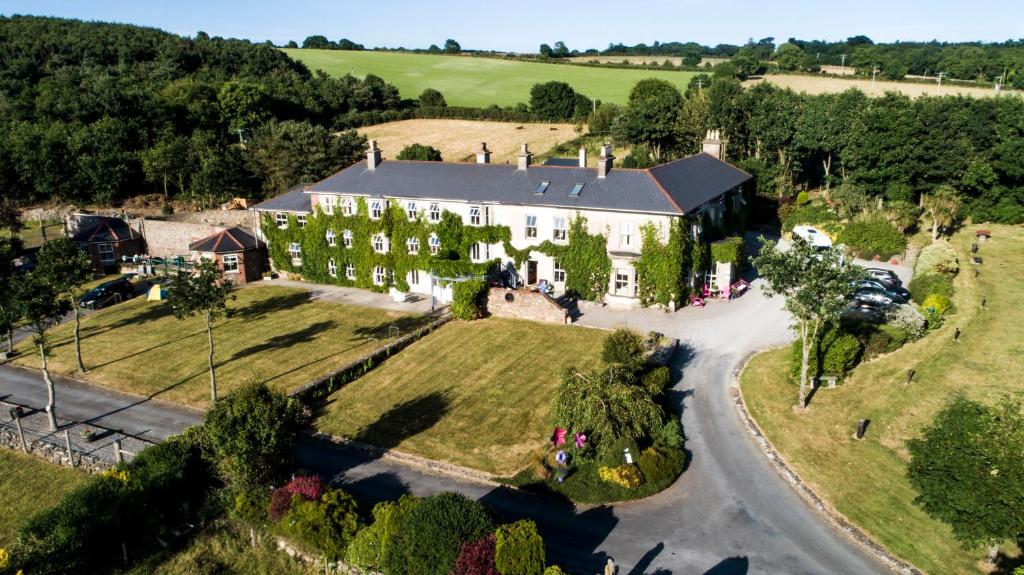 Bawn in Durra BigBawn · 33 yd
 Mountain Viewfarm house · 951 yd
 Site of CastleCastle, unclassified · 1184 yd
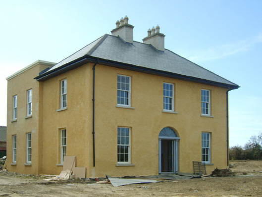 presbytery/parochial/curate's housepresbytery/parochial/curate's house · 1191 yd
 Trinity WellHoly well · 1357 yd
 St. Mannans WellHoly well · 1573 yd
 Carrickatinna RockMountain / peak · 1624 yd
 Skeater RockMountain / peak · 1.2 mi
 Dawn RedwoodDawn Redwood · 3.6 mi
 Japanese cedarJapanese cedar · 3.7 mi
 Coolcliffe HouseRuins · 6.0 mi
 1798 Memorial PlaqueMemorial · 6.4 mi