
What is recorded here
Castle Donovan stands sixty feet tall on a rock beside the River Ilen, holding the remains of a tower house that served the O'Donovans before they chased maritime profit to the seacoast. Tradition claims Cromwell's soldiers blew it with powder in the late 1640s, though the stone keeps a spiral staircase and much of its frame intact. The western wall has since collapsed into the savage vale, leaving a ghostly skeleton that has resisted forgetting for centuries.
Castle Donovan is recorded as a castle in County Cork. Its open map record supplies this location and any linked names or public references.
Built by the Fitzgerald family, known as the Earls of Kildare, in the 15th century, Castle Donovan is remembered for its strategic role in the control of southern Ireland during the late medieval period.
Places near here
 Castle Donovan (in Ruins)Castle, tower house · 6 yd
 KilnKiln, corn-drying · 45 yd
 IndicatedField boundary · 905 yd
 Hut site in Garranes NorthHut site · 970 yd
 Delish Cascade WalkWalking route · 1518 yd
 Nowen Hill SW TopMountain / peak · 1.8 mi
 Mullach MéiseMountain / peak · 1.8 mi
 Drimoleague Heritage Loop WalkWalking route · 2.0 mi
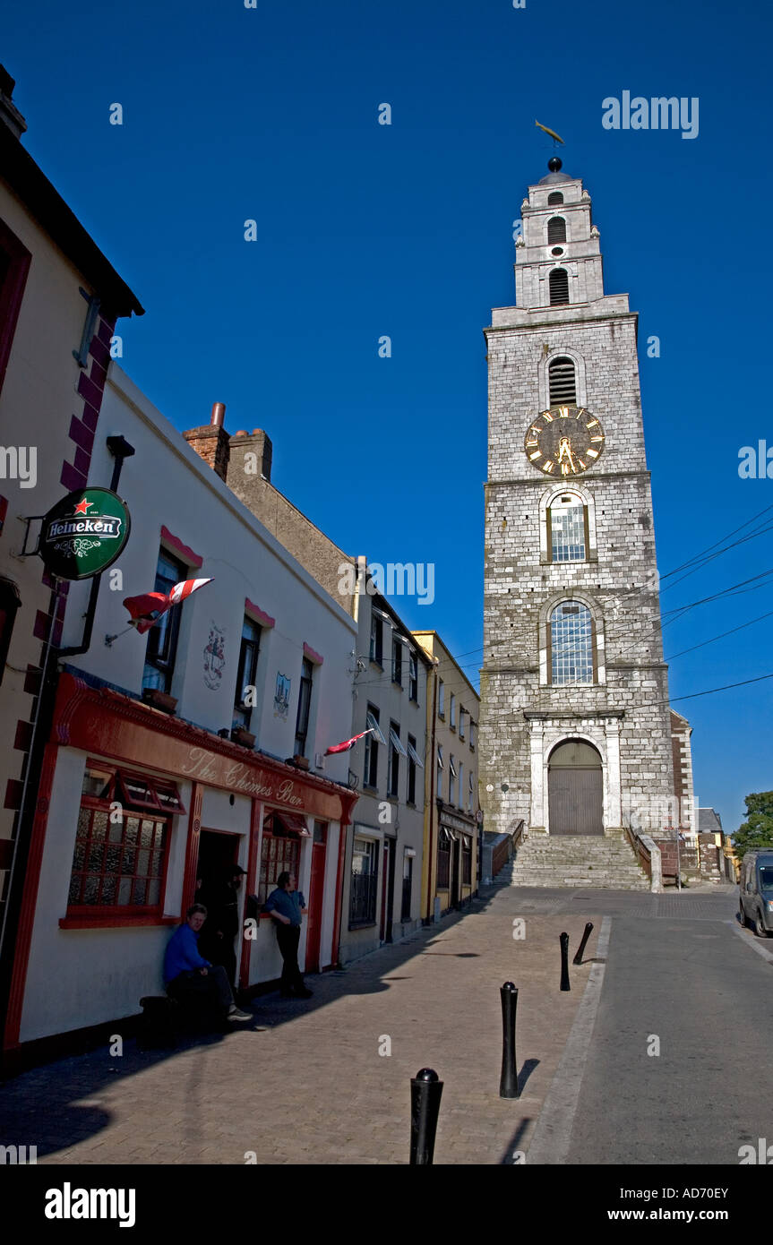 Church (in Ruins)Church · 2.2 mi
 Francis O'Neill PlaqueMemorial · 4.0 mi
 Kealkill stone circleVisitor information · 5.2 mi
 Baugorm Castle (Site of)Castle, unclassified · 5.3 mi
Other information
Photo: Mike Searle · CC BY-SA 2.0