
What is recorded here
Situated on rock outcrop at the edge of the shore on Clonea strand. Marked as an ancient castle on the the 1840 ed. of the OS 6-inch map, but it is not an antiquity. It was built by the Maguire family, probably in the late 18th or early 19th century, although it was said by J. O'Donovan c. 1840 to be on the site of a Fitzgerald castle (O'Flanagan, 1929, 39). Photographs taken c. 1940, and now in the Waterford County Museum in Dungarvan, show a rectangular tower of three storeys with some large windows and small lights. It was entered by a plain doorway at the N end of the SW side and had small stepped or plain crenalations. The tower fell in a storm in the winter of 1989-90, but the base of the NE and SE walls (T 0.9m; H c. 4m) survive.
O'Flanagan, M. (Compiler) (1929) Letters containing information relative to the antiquities of the county of Waterford collected during the progress of the Ordnance Survey in 1841. Typescript. Bray.
Compiled by: Michael Moore. Date of upload: 25th August, 2011.
The monument record does not grant public access. Check the route and ask the landowner before entering private land.
- What survives
- Recorded monument
Places near here
 Historic buildingOfficially recorded historic building · 859 yd
 Clonea StrandBeach / strand · 1092 yd
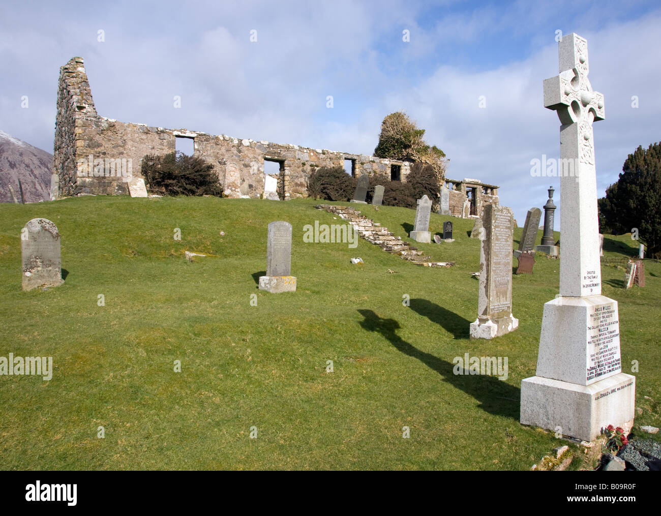 Grave YardGraveyard · 1226 yd
 Site of CastleCastle, unclassified · 1228 yd
 Clonea Church (in ruins)Church · 1234 yd
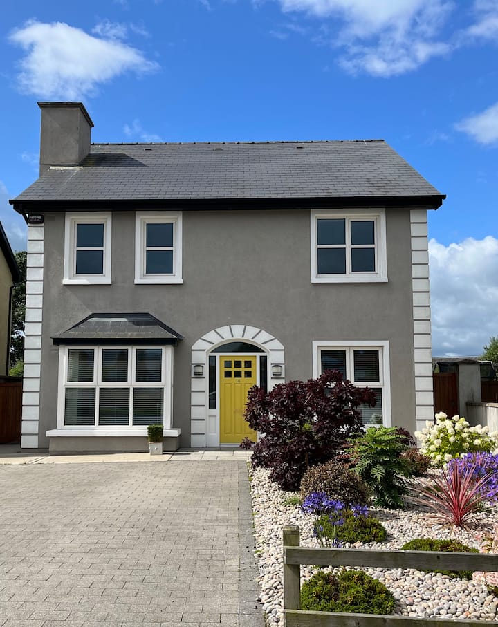 Fulacht fia in Garrynageragh EastFulacht fia · 1757 yd
 Grange WellSpring · 1.4 mi
 Cloncoskoran Castle (in ruins)Castle, tower house · 1.6 mi
 Horse-chestnutHorse-chestnut · 2.7 mi
 Tobar Uí GríobtháinSpring · 3.3 mi
 Erin's Hope 1867Memorial · 3.3 mi
 Ceann HeilbhicHeadland · 3.3 mi
Other information
Photo: Robert French · Public domain