
What is recorded here
Situated on flat terrain adjacent to Merrion Strand currently occupied by Seapoint Manor. The present residence is shown as 'Castle Byrn' on the 1843 OS 6-inch map (Stokes 1895, 8). A castle described in the Civil survey (1654-6) as a slated castle located at Newtown. It was held by Walter Cheevers in the Civil survey (1654-6) (Simington 1945, 267).
Compiled by: Geraldine Stout and Padraig Clancy
Revised upload on: 22 May 2018
Built in the 17th century, Castle Byrn was held by the Byrn family, as indicated by historical maps and surveys. It is remembered for its early documentation in the Civil Survey and its presence on the 1843 Ordnance Survey map, reflecting its local historical significance.
The monument record does not grant public access. Check the route and ask the landowner before entering private land.
- What survives
- Recorded monument
Places near here
 CastleCastle, unclassified · 309 yd
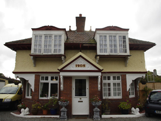 Rockfield Housegate lodge · 467 yd
 CrossCross · 583 yd
 Blackrock Fine ArtGallery · 637 yd
 James Joyce Pub AwardMemorial · 650 yd
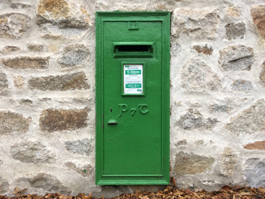 post boxpost box · 663 yd
 Martello TowerMartello tower · 749 yd
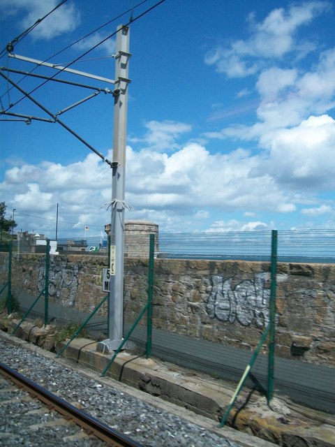 SeapointBeach / strand · 848 yd
 Graveyard in Monkstown HousefarmGraveyard · 1.0 mi
_-_geograph.org.uk_-_5029145.jpg?width=1280) Bawn in Monkstown CastlefarmBawn · 1.1 mi
Bawn in Monkstown CastlefarmBawn · 1.1 mi Monkstown CastleHeritage attraction · 1.1 mi
 Booterstown MarshNature reserve · 1.2 mi
Other information
Photo: Credit not shown in the picture search · Rights wording not checked; contact us if this picture should be removed