
What is recorded here
Castleblagh vanished completely from wet Cork pasture, erasing even the ruins Grove White heard about decades before its final disappearance. The place likely belonged to the Roche family, but the earth reclaimed its stones and memory, leaving only a broken line on an old map. What remains is a hole in local history where a castle should stand, proof that landscapes forget as quickly as they remember.
In wet pasture, on S side of stream. No visible surface trace of castle. Marked on 1842 OS 6-inch map as site of Castle Blagh, and depicted as subcircular enclosure (c. 20m E-W) defined by broken line. Grove White (1905-25, vol. 2, 60) was informed that 'there were some vestiges of the ruins of a building, supposed to have been the castle...even these ruins have disappeared'. Probably a Roche castle (ibid.).
The above description is derived from the published 'Archaeological Inventory of County Cork. Volume 4: North Cork' (Dublin: Stationery Office, 2000). In certain instances the entries have been revised and updated in the light of recent research.
Date of upload/revision: 14 January 2009
The monument record does not grant public access. Check the route and ask the landowner before entering private land.
- What survives
- Recorded monument
Places near here
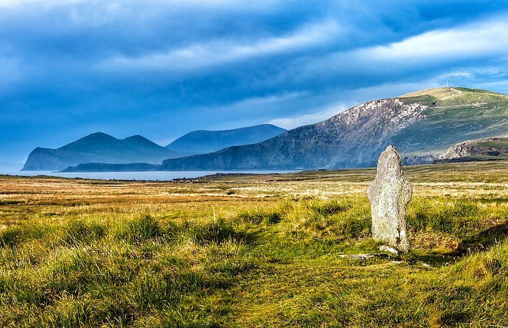 St Brendans WellHoly well · 680 yd
 Folacht FiadhFulacht fia · 947 yd
 Johnson's WoodForest · 1172 yd
 Priest's WoodForest · 1265 yd
 mill (water)mill (water) · 1711 yd
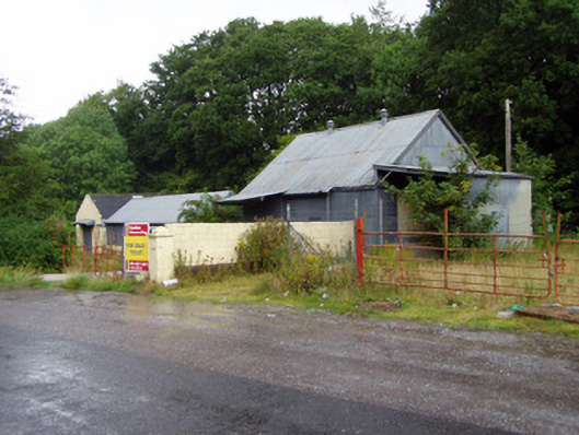 creamerycreamery · 1.0 mi
 Liam BurkeMemorial · 1.1 mi
 Ballyhooly CastleCastle · 1.2 mi
 Blackwater (Avondhu) WayWalking route · 1.4 mi
 Knocknaskagh North TopMountain / peak · 1.5 mi
 Castle (in Ruins)Castle, unclassified · 1.8 mi
 Cappagh XViewpoint · 2.6 mi
Other information
Photo: Credit not shown in the picture search · Rights wording not checked; contact us if this picture should be removed