
What is recorded here
Castle is an Anglo-Norman masonry castle in Lissardowlan, built by John O’Ferrall, Lord of Annaly, around 1377. It stood north of the local motte, large enough to be called important, yet by 1417 fire had taken it and later people removed what remained. Now only foundations hint at its shape, leaving the castle less like a ruin than a forgotten claim laid bare beneath the soil.
According to Orpen (1910, 224), this castle was located 'to the immediate north of the mote' (LF014-071001-). In 1377 the annals recorded that the castle of ‘Lis-ard-abhla was erected by John O’Ferrall, Lord of Annaly’ (AFM, vol. 3, 669). In 1417 ‘Lissardowlin Castle outside the bawn [LF014-071004-] was burned’ (Ann. Conn., 437). Depicted in the townland of Lisnedila on the Down Survey (1655-6) map of Templemichael parish (NLI, MS 719), in the area where the motte is located. In 1891 it was described as ‘a few crumbling old walls at the foot of the moat’ and it was noted that the ‘ruins of the castle ... prove it to have been a large and important erection’ but ‘nearly all the main portions of the structure, which was in a tolerable state of preservation up to some short time ago, have been removed’ (Farrell 1891, 303). By 1910 only the foundations were traceable (Orpen ibid.). Not visible at ground level.
Compiled by: Caimin O'Brien
Date of upload: 13 December 2012
John O’Ferrall, Lord of Annaly, built the Anglo-Norman masonry castle at Lissardowlan in 1377. It is remembered as a strategic stronghold in the medieval Irish landscape, reflecting the expansion of Anglo-Norman influence in the region.
The monument record does not grant public access. Check the route and ask the landowner before entering private land.
- What survives
- Recorded monument
Places near here
 Bawn in LissardowlanBawn · 61 yd
 Field boundary in LissardowlanField boundary · 99 yd
 Man-made underground passage in CloonahardMan-made underground passage · 756 yd
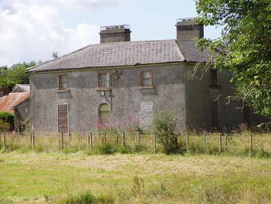 Rosemount Househouse · 924 yd
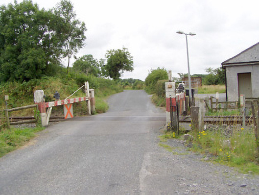 level crossinglevel crossing · 1136 yd
 Oldtown DemesneForest · 1.8 mi
 Oldtown CopseWood · 1.8 mi
 Saint Mel's CathedralCathedral · 3.3 mi
 First World War MemorialMemorial · 3.4 mi
 Bawn in AbbeycartronBawn · 3.6 mi
 Graveyard in Curry (ardagh By., Coolamber Ed)Graveyard · 4.7 mi
 Bully's Acregraveyard/cemetery, unknown · 4.9 mi
Other information
Photo: Credit not shown in the picture search · Rights wording not checked; contact us if this picture should be removed