What is recorded here
Castke Car stands on a shallow rock shelf in Glencar valley, where O'Rourke stone still marks the place first lost to gunfire in 1487. The surviving west gable and broken wall lines suggest a tall rectangular house that was damaged, refit and forgotten rather than cleanly destroyed. A narrow loop, inserted windows and bare limestone chambers leave room for imagination: a keeper watching the valley, a family moving through dark rooms, a soldier aiming across water. The castle does not need invention to feel alive because it already records violence, change and human occupancy.
Situated on a rock outcrop plinth (dims c. 30m N-S; c. 15m E-W; max. H 1.3-2m) that rises from a gentle S-facing slope on the floor of Glencar valley, with a small N-S stream just to the E. There is a reference to the capture and destruction of the O'Rourke castle of Car (Caisleán an Chairthe) in 1487 (AFM), which records the earliest use of guns in Ireland (McGivney 1932, 17-18; Hayes-McCoy 1938-9, 47). It was destroyed again in 1536 (McDermott 2019, 109-11, and in 1621-2 Tiernan Mac Owen O'Rourke received a grant of 1500 acres as the Manor of Carra (Mac an Ghalloglaigh 1971, 241, 254) and he may have refurbished the castle.
This is a rectangular three-storey structure (ext. dims 13.4m E-W; 9.5m N-S; int. dims 9m E-W; 5.35m N-S) of which only the W gable and adjacent parts of the N and S walls survive. It is built of randomly coursed limestone masonry with dressed quoins, which are largely robbed, and a base-batter, but it lacks a barrel vault and all the windows on the upper floors appear to be inserted. The joists for the upper floors are set directly into the N and S walls. The W wall has a centrally located fireplace flanked by robbed single lights at the ground floor, with a light (Wth 0.07m; H 0.36m) of dressed stone that has a gun-loop beneath it in the S wall. There is an inserted two-light window with square hood-mouldings in the W wall at the first and second floors, with evidence of a fireplace in the N wall and a window embrasure in the S wall at the first floor. (Connellan 1946, 34-5)
See the attached view taken from the W.
The above description is derived from 'The Archaeological Inventory of County Leitrim' compiled by Michael J. Moore (Dublin: Stationery Office, 2003). In certain instances the entries have been revised and updated in the light of recent research.
Date of upload: 23 September 2008
Built by the O'Carroll family in the 13th century, Castletown (Castke Car) is remembered as a key stronghold in the Glencar Valley, reflecting the strategic importance of the site during the medieval Gaelic period.
This remains an important historical record, but the official description says the monument is no longer visible or has been destroyed. The monument record does not grant public access. Check the route and ask the landowner before entering private land.
- What survives
- No visible remains or recorded as destroyed
Places near here
 Castle CarCastle · 3 yd
 Not inidcatedEnclosure · 1043 yd
 IndicatedFairy fort / stone ringfort · 1085 yd
 Church (in Ruins)Church · 1153 yd
 Longhill WoodForest · 1.3 mi
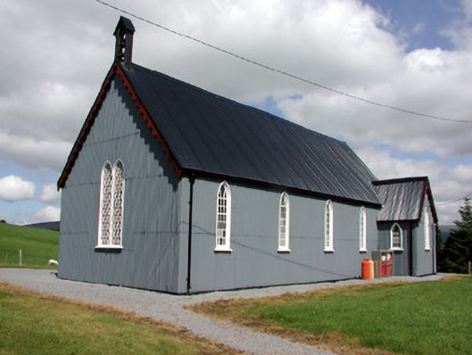 Lurganboy Church (Killasnet)church/chapel · 1.4 mi
 Ashisland WoodForest · 1.5 mi
 BenboMountain / peak · 2.3 mi
 Giants RockNamed rock · 2.9 mi
 Kilroosk RockNamed rock · 3.2 mi
 Keelogyboy Mountain NE TopMountain / peak · 4.0 mi
 The Giants GraveArchaeological place · 4.5 mi