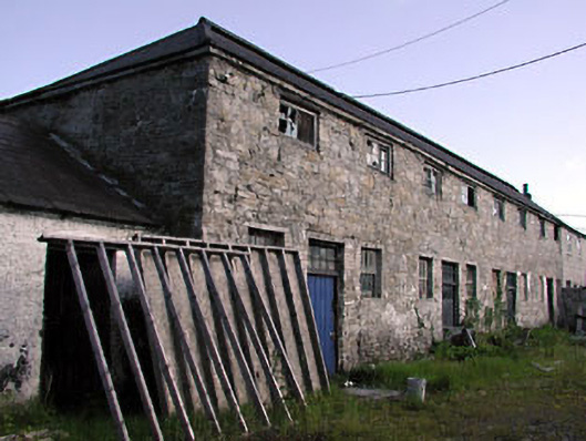
What is recorded here
Attached ten-bay two-storey rubble stone warehouse, c.1820, retaining early fenestration. Two-bay section to north-east extensively renovated, c.1970, to accommodate residential use. Now disused. Hipped roof with slate. Clay ridge tiles. Red brick chimney stack. Remains of cast-iron rainwater goods on cut-stone eaves course. Random rubble stone walls (rendered, c.1970, to two bays to north-east). Square-headed openings. No sills (concrete sills, c.1970, to two bays to north-east). Timber lintels. 3/3 timber sash windows to ground floor with 4/4 horizontal timber sash windows to first floor (replacement timber casement windows, c.1970, to two bays to north-east). Timber boarded doors with overlights. Set back from road in grounds shared with distillery buildings with gable-end to north-east fronting on to road.Attached two-bay single-storey rubble stone outbuilding, c.1820, to south-west. Gable-ended roof with slate. Clay ridge tiles. Square rooflight. Remains of cast-iron rainwater goods on eaves course. Rubble stone walls. Painted. Square-headed openings. No sills. Timber fittings including timber boarded doors.
This building, although now disused, is of considerable social and historical importance, attesting to the industrialisation of Monasterevin in the early nineteenth century. Built as a long, regularly-proportioned range with solid wall masses pierced by diminutive openings (in accordance with a structure that was required to be cool and dry for the storage of grain), the building blends attractively with the neighbouring structures of earlier and later dates. The building retains many important early features and materials, including simple timber boarded doors, a slate covering to roof, and timber sash fenestration – horizontally-sliding to the first floor. The renovations carried out to the two bays to north-east to accommodate a residential use have not had a positive impact on the composition, and future repairs might aim to restore the original proportions and features.
This does not grant access. Most recorded buildings are privately owned; view them only from public ground unless the owner allows entry.
Places near here
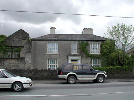 Freemore Househouse · 27 yd
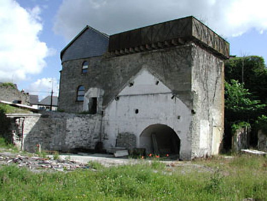 Cassidy and Companywater tower · 125 yd
 Lodge GroveWood · 264 yd
 Font in Mooreabbey DemesneFont · 340 yd
 European YewEuropean Yew · 378 yd
 IndicatedHoly well · 875 yd
 Bawn in Lackagh BegBawn · 3.4 mi
 Lea Castle (in ruins)Castle, Anglo-Norman masonry castle · 3.8 mi
 Church (in Ruins), GraveyardChurch · 4.3 mi
 Bog Lake WalkWalking route · 5.8 mi
 Derryounce Walk (Yellow Loop)Walking route · 6.0 mi
 Bithia Mary CrokerMemorial · 6.3 mi
Other information
Photo: National Inventory of Architectural Heritage · Website use allowed for educational or private purposes with source credit