What is recorded here
Internal diam. c. 25m. A subcircular area now enclosed by a much collapsed stone wall. Pieces of wall-facing are visible but not sufficiently to calculate the wall width. The interior is overgrown and stone-covered with field clearance and parts of the wall have been quarried away. It is situated on good farmland which slopes down to the River Swilly to the S.
The above description was derived from the 'Archaeological Survey of County Donegal. A description of the field antiquities of the County from the Mesolithic Period to the 17th century.' Compiled by: Brian Lacey with Eamon Cody, Claire Cotter, Judy Cuppage, Noel Dunne, Vincent Hurley, Celie O'Rahilly, Paul Walsh and Seán Ó Nualláin (Lifford: Donegal County Council, 1983). In certain instances the entries have been revised and updated.
Date of upload: 22 September 2008
The monument record does not grant public access. Check the route and ask the landowner before entering private land.
- What survives
- Recorded monument
Places near here
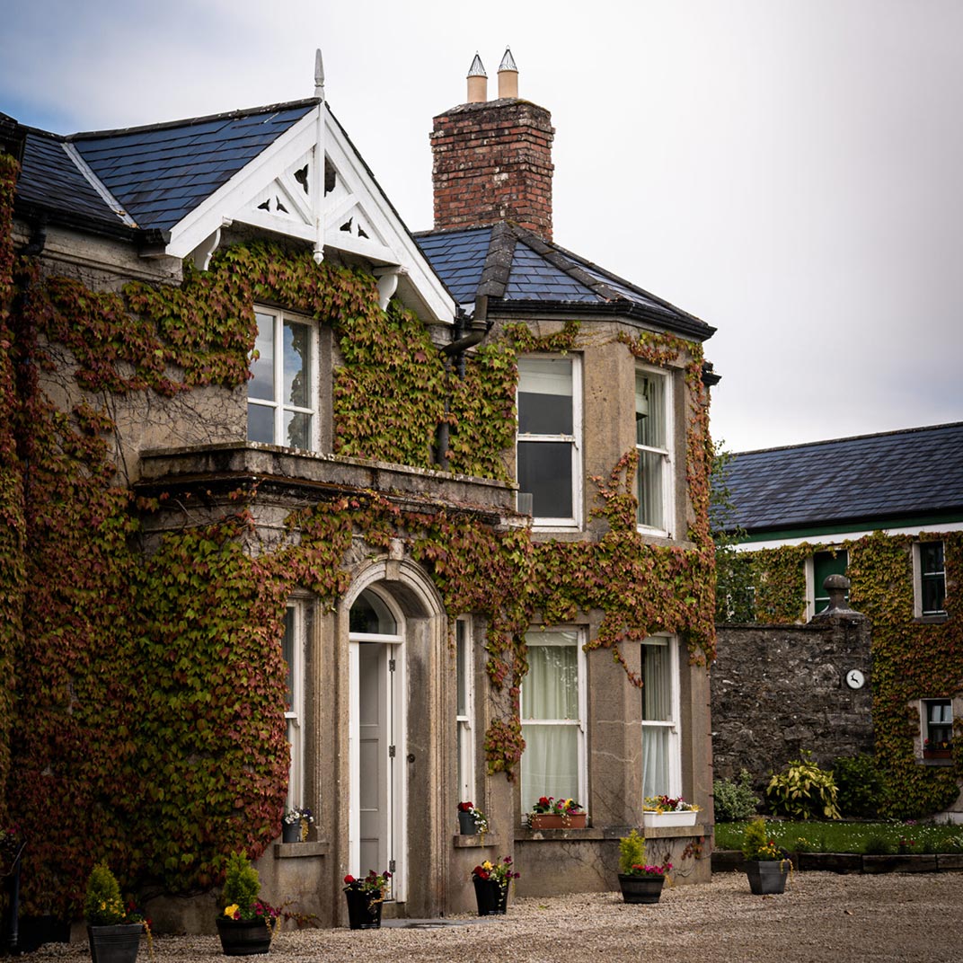 Ballygawley Stone RingfortFairy fort / stone ringfort · 545 yd
 Saint Columba's Catholic Churchchurch/chapel · 671 yd
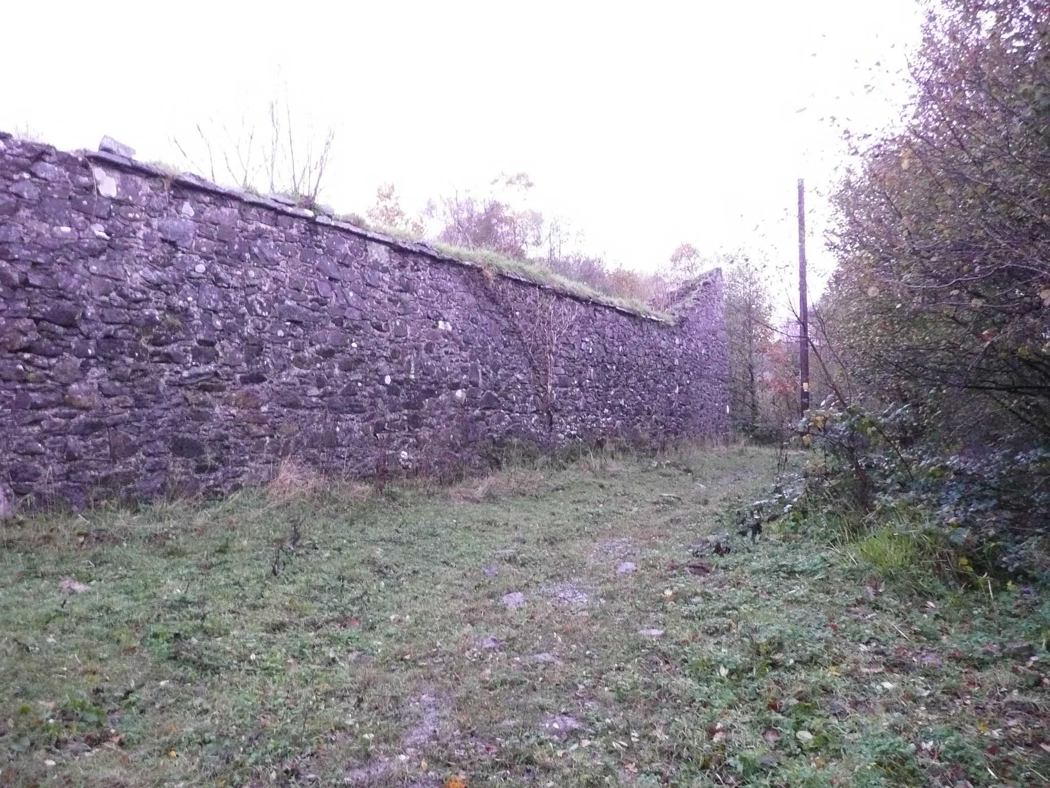 Fox Hallwalled garden · 799 yd
 Doon Glebe Stone Ringfort and Mural PassageFairy fort / stone ringfort · 1.1 mi
 Stackarnagh Abbey GraveyardGraveyard · 1.9 mi
 Gregory HillMountain / peak · 2.0 mi
 Newmills Corn and Flax MillsHeritage attraction · 2.1 mi
 Battle of Scarrifholisbattle · 2.4 mi
 Site of Castle SollusCastle, unclassified · 2.4 mi
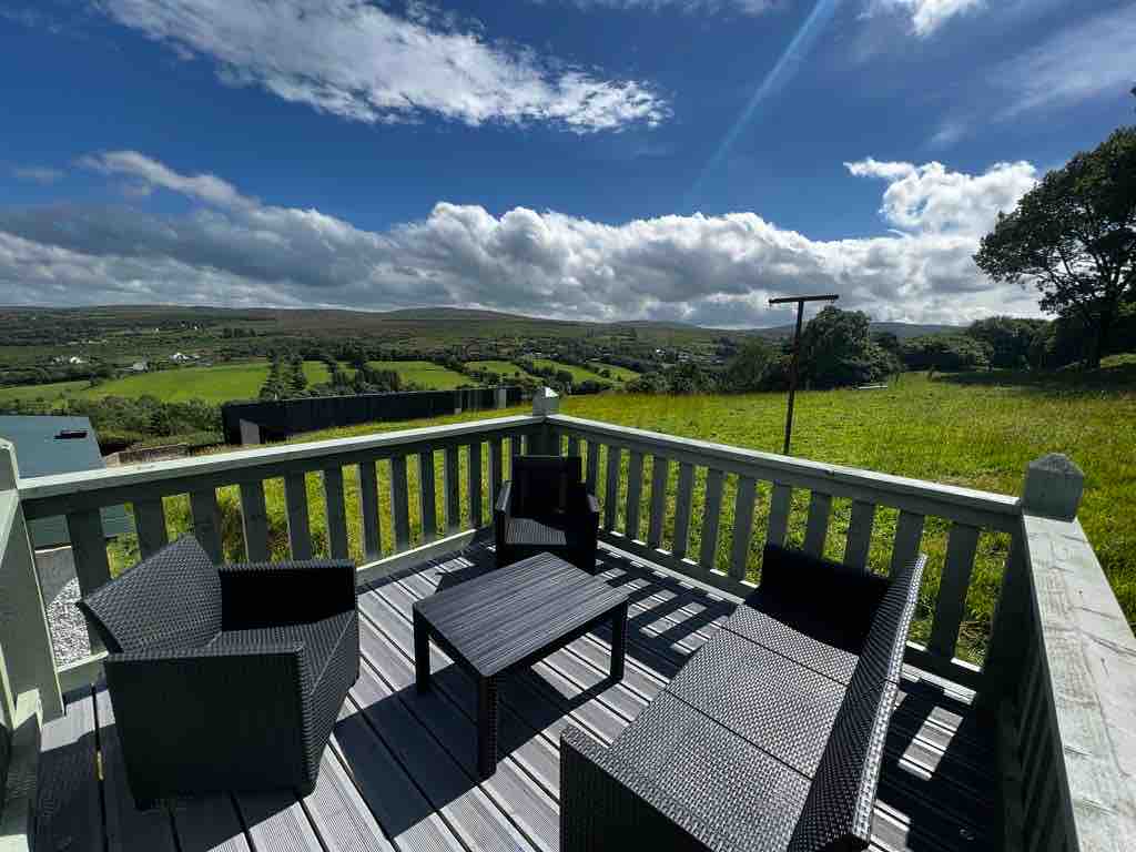 Church Hill ForestForest recreation place · 3.9 mi
 European BeechEuropean Beech · 4.7 mi
 Glebe House and GalleryHeritage attraction · 4.7 mi