What is recorded here
Cashel Standing-Stone Burial marks a lost chamber on Donegal pasture, where a tall stone still leans above the Glentogher river. Local memory claims men broke the site open decades ago and pulled large bones from beneath the displaced rocks. The living field may have swallowed the rest, leaving only the tallest marker to guard what the soil forgot.
A standing stone 1.35m high × 0.74m wide; NE-SW. It is said locally that c. 60 years ago other associated stones were removed and some 'large bones' uncovered. Situated on pasture land falling away to the E and overlooking the Glentogher river.
The above description was derived from the 'Archaeological Survey of County Donegal. A description of the field antiquities of the County from the Mesolithic Period to the 17th century.' Compiled by: Brian Lacey with Eamon Cody, Claire Cotter, Judy Cuppage, Noel Dunne, Vincent Hurley, Celie O'Rahilly, Paul Walsh and Seán Ó Nualláin (Lifford: Donegal County Council, 1983). In certain instances the entries have been revised and updated.
Date of upload: 22 September 2008
A megalithic standing-stone burial, likely dating to the Neolithic or early Bronze Age; its partial disturbance and reported associated stones suggest a ritual or funerary function, though its wider archaeological significance remains unclear due to lack of precise location and context.
The monument record does not grant public access. Check the route and ask the landowner before entering private land.
- What survives
- Recorded monument
Places near here
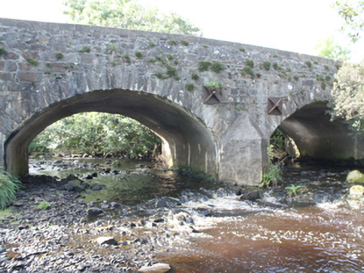 Ballylosky Bridgebridge · 1.4 mi
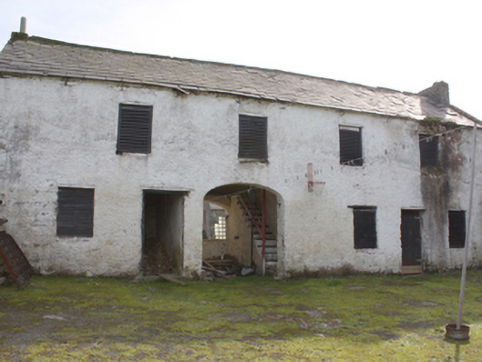 Hollymount Houseoutbuilding · 1.5 mi
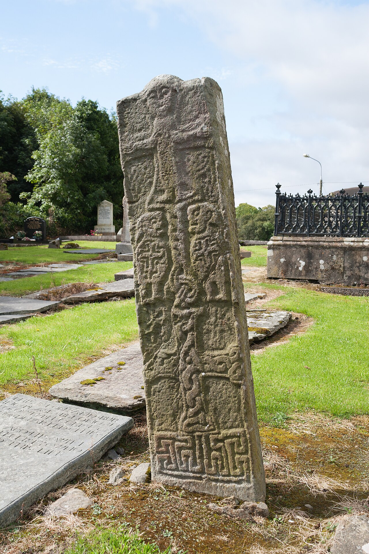 Cross-slab in Churchland QuartersCross-slab · 2.0 mi
 Carndonagh Early Church GraveyardGraveyard · 2.0 mi
 Carndonagh Donagh Church Gothic DoorwayArchitectural feature · 2.0 mi
 Wee Slieve SnaghtMountain / peak · 2.8 mi
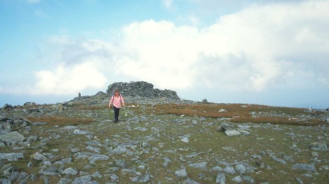 Slieve SnaghtMountain / peak · 3.0 mi
 Glendowen craft shopHeritage attraction · 5.1 mi
 Giant's GraveArchaeological place · 6.7 mi
 Site of Red CastleCastle, unclassified · 7.3 mi
 Quigley's PointHeadland · 7.4 mi
 Castle CaryCastle, unclassified · 7.6 mi