
What is recorded here
Cashel is a fairy fort or stone ringfort in Kincuillew, County Sligo, Ireland. The circular site sits on a south-facing slope of the Ox Mountains and contains a man-made underground passage in its eastern half. A separate hut site lies one hundred metres to the southeast, while parts of the original wall now mark a field boundary.
In rough grazing, on a S-facing slope of the Ox Mountains. A circular area (diam. 26.5m) defined by the lower courses of a drystone wall (Wth 2.75m; H 1m). Parts of the wall are rebuilt to form a field boundary. The interior, which slopes down gently to SE, is scattered with stones. There is a Man-made underground passage (SL036-004002-) in the E half of the interior. A hut site (SL036-068----) lies c. 100m to SE.
The above description is derived from the published 'Archaeological Inventory of County Sligo' compiled by Ursula Egan, Elizabeth Byrne, Mary Sleeman with Sheila Ronan and Connie Murphy (Dublin Stationery Office, 2005).
Date of upload: 18 January 2008
The monument record does not grant public access. Check the route and ask the landowner before entering private land.
- What survives
- Recorded monument
Places near here
 CashelbawnFairy fort / stone ringfort · 1494 yd
 Carrowreagh Court TombArchaeological place · 1645 yd
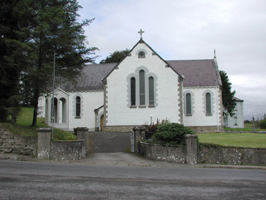 Catholic Church of Our Lady of the Rosarychurch/chapel · 1.1 mi
 Church in KilmacteigeChurch · 1.1 mi
 Castle (in Ruins)Castle, tower house · 1.8 mi
 Castle Carragh in RuinsCastle, unclassified · 2.5 mi
 Lough Talt TrailVisitor information · 2.5 mi
 KnockasliggaunMountain / peak · 2.7 mi
 Largan HillMountain / peak · 3.4 mi
 Carrick WoodWood · 3.6 mi
 Mass RockNamed rock · 4.2 mi
 New WoodWood · 4.3 mi
Other information
Photo: Credit not shown in the picture search · Rights wording not checked; contact us if this picture should be removed