
What is recorded here
Cashel is a fairy fort or stone ringfort in Cuilsheeghary More, County Sligo, Ireland. The moss-covered stony bank encloses a circular area on a low terrace beside heather-covered bog. A shallow depression and limestone scarp mark the interior, while field boundary walls cross the site. Another cashel lies one hundred and thirty metres to the east.
In upland grazing, at the base of a NE-facing limestone escarpment in the foothills of the Bricklieve Mountains and on a low terrace bordered to E by an expanse of heather-covered bog. The NE edge of the cashel straddles the break of slope at the NE edge of the terrace. A circular area (24.6m NW-SE; 26.5m NE-SW) enclosed by a moss-covered stony bank which is most substantial (Wth 4.3m; int. H 0.4m; ext. H 0.9m) E-WSW. There is a break (Wth 1.5m) at NW and another low area or break (Wth c. 2.6m) at ENE, partially obscured by a field boundary wall. The centre of the interior incorporates a low gently domed rise (Wth c. 8m) without clearly defined limits. There is a shallow depression (2.3m x 2m; D 0.25m) on the N side of the central rise. An E-facing limestone scarp (H c. 1m) representing the natural edge of the terrace extends on a NNW-SSE axis through the E half of the interior giving it a split-level profile. A NE-SW field boundary wall crosses the SE edge of the cashel. Traces of a NW-SE field boundary wall, which bisected the interior, are also evident as are possible E-W cultivation ridges. One of a line of cashels (SL040-156---, -15901-, -161---) spaced at intervals along the long axis of the terrace. Another cashel (SL040-158001-) lies c. 130m to E.
The above description is derived from the published 'Archaeological Inventory of County Sligo' compiled by Ursula Egan, Elizabeth Byrne, Mary Sleeman with Sheila Ronan and Connie Murphy (Dublin Stationery Office, 2005).
Date of upload: 18 January 2008
The monument record does not grant public access. Check the route and ask the landowner before entering private land.
- What survives
- Recorded monument
Places near here
 CashelFairy fort / stone ringfort · 112 yd
 Hut site in Carricknahorna EastHut site · 204 yd
 Carricknahorna EastMountain / peak · 1202 yd
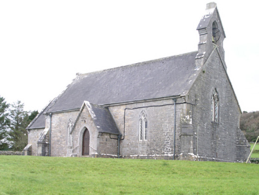 Aghanagh Churchchurch/chapel · 1470 yd
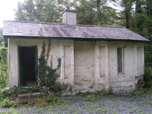 Hollybrook Housegate lodge · 1593 yd
 Ballinafad CastleCastle · 1.2 mi
 Bricklieve MountainsMountain / peak · 1.4 mi
 Muck IslandIslet · 1.8 mi
 Treanscrabbagh caveCave · 1.9 mi
 MoatCastle, motte · 2.4 mi
 InishmoreIslet · 2.4 mi
 Loughbrick BayBay · 2.5 mi
Other information
Photo: Credit not shown in the picture search · Rights wording not checked; contact us if this picture should be removed