What is recorded here
Mortons and others may have built the cashel, but the fairies took it back. They abhor being watched, so they smothered the stones under grass and turned the ring into a place where human memory blunts. The fort is not lost, it is hiding.
Internal diam. c. 10m. A circular space bounded on the S by a collapsed drystone wall and on the N by a low grassed-over bank. The site is located on a knoll of rock surrounded by rough pasture.
The above description was derived from the 'Archaeological Survey of County Donegal. A description of the field antiquities of the County from the Mesolithic Period to the 17th century.' Compiled by: Brian Lacey with Eamon Cody, Claire Cotter, Judy Cuppage, Noel Dunne, Vincent Hurley, Celie O'Rahilly, Paul Walsh and Seán Ó Nualláin (Lifford: Donegal County Council, 1983). In certain instances the entries have been revised and updated.
Date of upload: 22 September 2008
The monument record does not grant public access. Check the route and ask the landowner before entering private land.
- What survives
- Recorded monument
Places near here
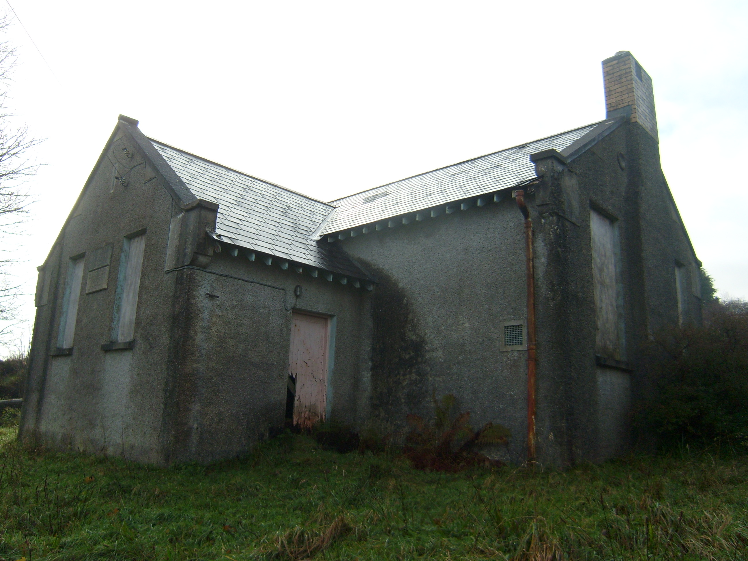 Carrownaganonagh National Schoolschool · 94 yd
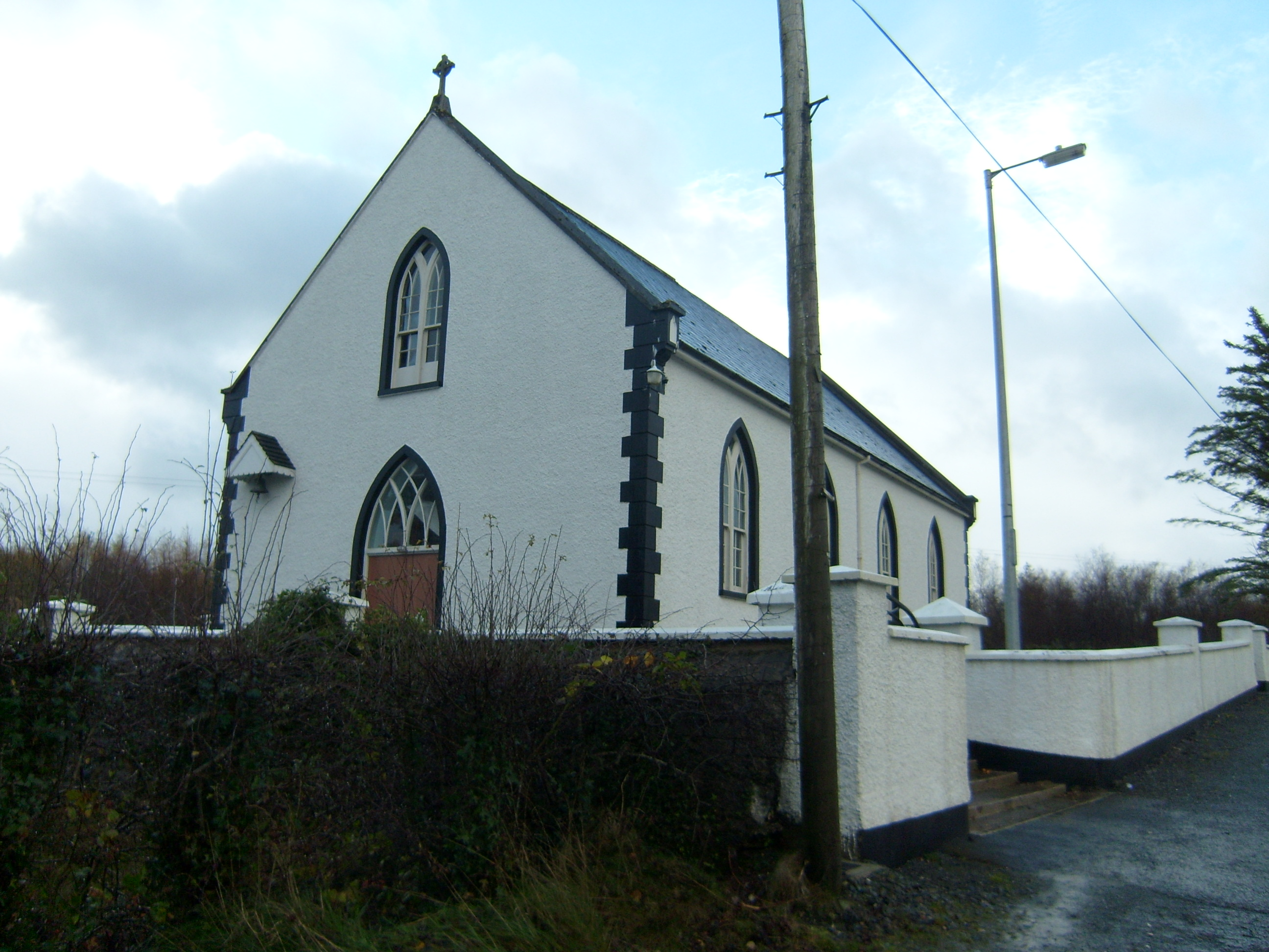 Saint Brigid's Catholic Churchchurch/chapel · 1.2 mi
 Aghawoney Standing StonesPublicly named standing stone · 1.5 mi
 Skerry Fairy FortFairy fort / earthen ringfort · 1.7 mi
 Loughsalt MountainMountain / peak · 1.7 mi
 Castle (Site of)Castle, unclassified · 2.8 mi
 BallykeeranForest recreation place · 3.5 mi
 Ballyarr Nature ReserveNational nature reserve · 3.6 mi
 Rough IslandIslet · 4.2 mi
 Cranberry IslandIslet · 4.8 mi
 Bawn in RathmeltonBawn · 5.0 mi
 Tullyaughnish Old Church GraveyardGraveyard · 5.0 mi