What is recorded here
In pasture, straddling the slightly convex summit of a drumlin ridge with the ground level falling away gently to E and W. Views are excellent in all directions. A circular flat-topped mound (diam. c. 28m at base, 5.6m at top; H 6.25m) surrounded by a broad shallow fosse (Wth 8m at base; D 0.15m) NNW-SSE; the line of the fosse is marked elsewhere by a band of dark grass. The summit of the mound slopes slightly down to NW and is clear of overgrowth while the sides are mostly overgrown with gorse and are inaccessible. Field boundaries abut the base of the mound at SSE and NNW. A rath (SL034-123----) lies c. 40m to W.
The above description is derived from the published 'Archaeological Inventory of County Sligo' compiled by Ursula Egan, Elizabeth Byrne, Mary Sleeman with Sheila Ronan and Connie Murphy (Dublin Stationery Office, 2005).
Date of upload: 18 January 2008
Neolithic passage tomb, dating to approximately 3000–2500 BCE. Its location on a prominent drumlin suggests it was a significant ceremonial or burial site with wide visibility, possibly used for communal or ritual purposes.
The monument record does not grant public access. Check the route and ask the landowner before entering private land.
- What survives
- Recorded monument
Places near here
 LisrisisFairy fort / earthen ringfort · 213 yd
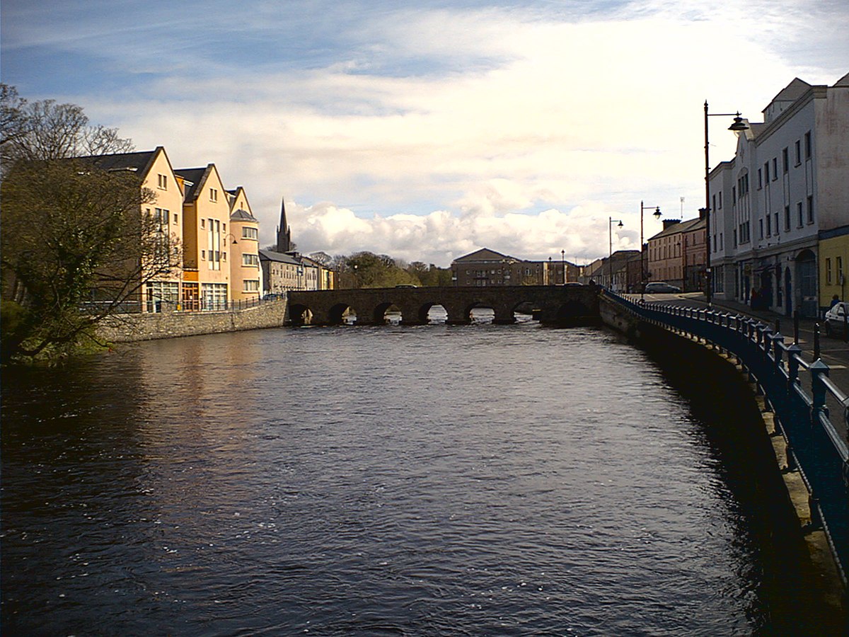 Indicated (1838).Fairy fort / earthen ringfort · 243 yd
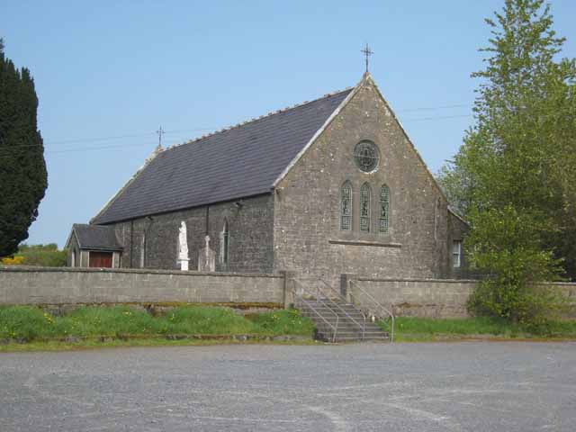 Saint Patrick's Catholic Churchchurch/chapel · 443 yd
 Bellarush Br.Bridge · 1448 yd
 Castle BaldwinCastle · 1752 yd
 Bricklieve Castle (in Ruins)Castle, unclassified · 1.6 mi
 Annaghgowla IslandIslet · 1.9 mi
 InishmoreIslet · 2.4 mi
 Bricklieve MountainsMountain / peak · 2.6 mi
 Treanscrabbagh caveCave · 2.7 mi
 Riverstown Folk ParkHeritage attraction · 2.7 mi
 School CaveCave · 2.8 mi