What is recorded here
In rough mountain heath, sheltered on S and W sides by ridge of rock, extensive view to NE. Remains consist of three walls of rectangular structure (5.5m NW-SE; 13m SW-NE); random rubble dry-stone walls in poor structural condition (max. H 1.5m; Wth 0.8m); no wall to NE but remains ofline of loose stone across NE end, 0.6m from end of NW wall. Remains of three window opes in NW wall and two in SE wall; all rudely formed with single splayed sidestones, capped by one or two lintels, flat bed stone. At SW end remains of stone altar formed by thin flat sandstone slabs; now partially obscured by collapse and overgrowth. Interior overgrown with bracken and gorse.
The above description is derived from the published 'Archaeological Inventory of County Cork. Volume 3: Mid Cork' (Dublin: Stationery Office, 1997). In certain instances the entries have been revised and updated in the light of recent research.
Date of upload/revision: 14 January 2009
The monument record does not grant public access. Check the route and ask the landowner before entering private land.
- What survives
- Recorded monument
Places near here
 Carn (Remains of)Cairn, radial-stone cairn · 165 yd
 CairnCairn, unclassified · 255 yd
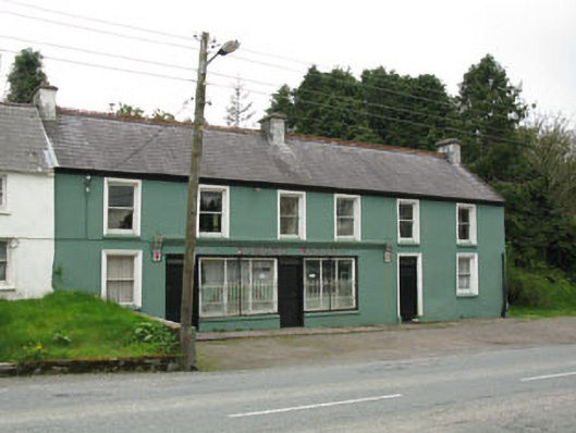 Edmond Walshhouse · 1.3 mi
 St John the Baptist Roman Catholic Churchchurch/chapel · 1.4 mi
 Clonavrick CliffCliff · 2.9 mi
 Neill's WoodWood · 3.2 mi
 Paddy Mulcahey 2009Memorial · 3.3 mi
 MusheramoreMountain / peak · 3.5 mi
 Standing Stone ? At J WellMemorial · 3.5 mi
 Cnoc na nUlán (mullach thoir)Mountain / peak · 4.0 mi
 Carrigaphooca CastleCastle · 4.1 mi
 Curraheen WoodWood · 4.5 mi
Other information
Photo: Credit not shown in the picture search · Rights wording not checked; contact us if this picture should be removed