
What is recorded here
Detached three-bay single-storey farmhouse with half-dormer attic, extant 1840, on a T-shaped plan with single-bay (single-bay deep) full-height central return (east). Now disused. Pitched slate roof on a T-shaped plan centred on pitched (gabled) slate roof with clay ridge tiles, paired rendered central chimney stacks having stepped capping supporting terracotta pots, concrete or rendered coping to gables, and no rainwater goods surviving on limewashed rendered eaves. Limewashed rendered walls. Segmental-headed central door opening with overgrown threshold, and concealed dressings framing timber panelled door having fanlight. Segmental-headed flanking window openings with limewashed sills, and concealed dressings framing eight-over-eight timber sash windows having blind fanlights. Segmental-headed window openings (half-dormer attic) with limewashed sills, and concealed dressings framing four-over-eight timber sash window having fanlights. Square-headed window openings (east) with limewashed sills, and concealed dressings framing eight-over-eight or six-over-six timber sash windows. Interior including (ground floor): central hall retaining timber surrounds to door openings framing timber panelled doors; and timber surrounds to door openings to remainder framing timber panelled doors with timber panelled reveals or shutters to window openings. Set back from line of road in unkempt landscaped grounds with limewashed piers to perimeter having pyramidal capping supporting barley twist-detailed flat iron gate.
A farmhouse representing an integral component of the domestic built heritage of south County Wexford with the architectural value of the composition confirmed by such attributes as the compact plan form centred on a restrained doorcase showing a simple radial fanlight; the elegant arcaded "sweep" of the openings; and the miniature gablet embellishing the roofline. A prolonged period of unoccupancy notwithstanding, the elementary form and massing survive intact together with substantial quantities of the original fabric, both to the exterior and to the interior, thereby upholding the character or integrity of the composition. Furthermore, an adjacent coach house-cum-stable outbuilding (extant 1840) continues to contribute positively to the group and setting values of a neat self-contained ensemble making a pleasing visual statement in a rural street scene presently (2007) undergoing extensive "suburban" development.
This does not grant access. Most recorded buildings are privately owned; view them only from public ground unless the owner allows entry.
Places near here
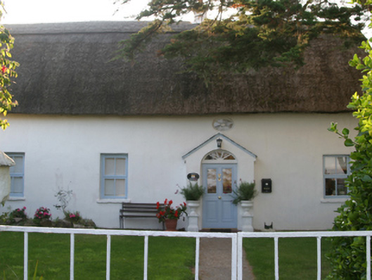 Teach Samhrainhouse · 268 yd
 Disused Boathouse / Coal shedRuins · 517 yd
 Carne BeachBeach / strand · 550 yd
 Lifeboat MemorialMemorial · 582 yd
 Churchtown Beach / The Sandy GripeBeach / strand · 637 yd
 CastleCastle, tower house · 718 yd
 St. Margarets WellHoly well · 1001 yd
 Site of CastleCastle, unclassified · 1012 yd
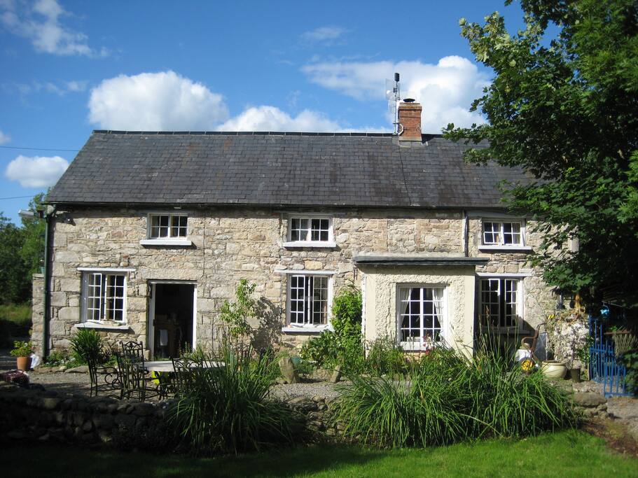 The Long StoneArchaeological place · 1164 yd
 Shernock Hill/Knocks HillMountain / peak · 1570 yd
 The Caravan RockNamed rock · 1637 yd
 The CaamstoneNamed rock · 1.4 mi
Other information
Photo: National Inventory of Architectural Heritage · Website use allowed for educational or private purposes with source credit