
What is recorded here
The official Northern Ireland record identifies this as a Grade B listed building. Current recorded use: Church.
The official record and map point do not grant access. Many historic buildings are privately owned; view them only from public ground unless the owner allows entry.
Places near here
 Enclosure (Rath?) in Ballyculter LowerEnclosure (Rath?) · 908 yd
 Christ ChurchChurch · 1496 yd
 CHURCH & GRAVEYARD: BALLYCULTER, CHRISTCHURCH in Ballyculter UpperCHURCH & GRAVEYARD: BALLYCULTER, CHRISTCHURCH · 1610 yd
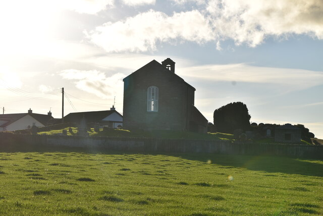 ANGLO-NORMAN COFFIN LIDS (2) (in C. of I. church) & site of MEDIEVAL CHURCH in KilcliefANGLO-NORMAN COFFIN LIDS (2) (in C. of I. church) & site of MEDIEVAL CHURCH · 1.4 mi
 Parish ChurchChurch · 1.4 mi
 Strangford Holiday Park Picnic AreaPicnic place · 1.5 mi
 Kilclief CastleCastle · 1.5 mi
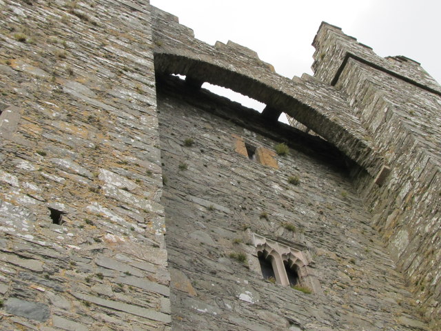 TOWER-HOUSE & C13th COFFIN LID: KILCLIEF CASTLE in KilcliefTOWER-HOUSE & C13th COFFIN LID: KILCLIEF CASTLE · 1.5 mi
 Kilclief BeachBeach / strand · 1.6 mi
 St Patrick's WayWalking route · 1.6 mi
 Mullog PointHeadland · 1.8 mi
 Sandy IslandIslet · 2.1 mi
Other information
Photo: Dean Molyneaux · CC BY-SA 2.0