
What is recorded here
Carfin Colliery, Brick Works is brickworks in North Lanarkshire, Scotland.
Places near here
Photo credits
- Maker not stated on source page, commons.wikimedia.org
- wrobison, Wikimedia Commons · CC BY-SA 2.0
- Anne Burgess, Wikimedia Commons · CC BY-SA 2.0
- Nigel Thompson, Wikimedia Commons · CC BY-SA 2.0
- Jim Smillie, Wikimedia Commons · CC BY-SA 2.0
- Ian Dodds, Wikimedia Commons · CC BY-SA 2.0
- M J Richardson, Wikimedia Commons · CC BY-SA 2.0
- Maker not stated on source page, en.wikipedia.org
- Maker not stated on source page, flickeringlamps.com
 Carfin, 2 Cleland Road, Carfin Parish ChurchChurch (20th Century), Masjid (20th Century), War Memorial (20th Century) · 423 yd
 CarfinTown · 474 yd
 Carfin Lourdes GrottoGrotto (religious) (20th Century), Shrine (20th Century) · 838 yd
 Carfin, Newarthill Road, St Francis Xavier's Roman Catholic ChurchChurch (19th Century) - (20th Century) · 891 yd
 Carfin, Newarthill Road, Church of St Francis XavierChurch (20th Century) · 950 yd
 Carfin StationRailway Station (19th Century) - (20th Century) · 1015 yd
 Ravenscraig ParkPark · 1243 yd
 Motherwell MillMill · 1518 yd
 Holytown StationRailway Station (19th Century) - (20th Century) · 1604 yd
 New Stevenston, Jerviston Street, Methodist ChurchChurch (20th Century) · 1653 yd
 War MemorialMonument · 1.1 mi
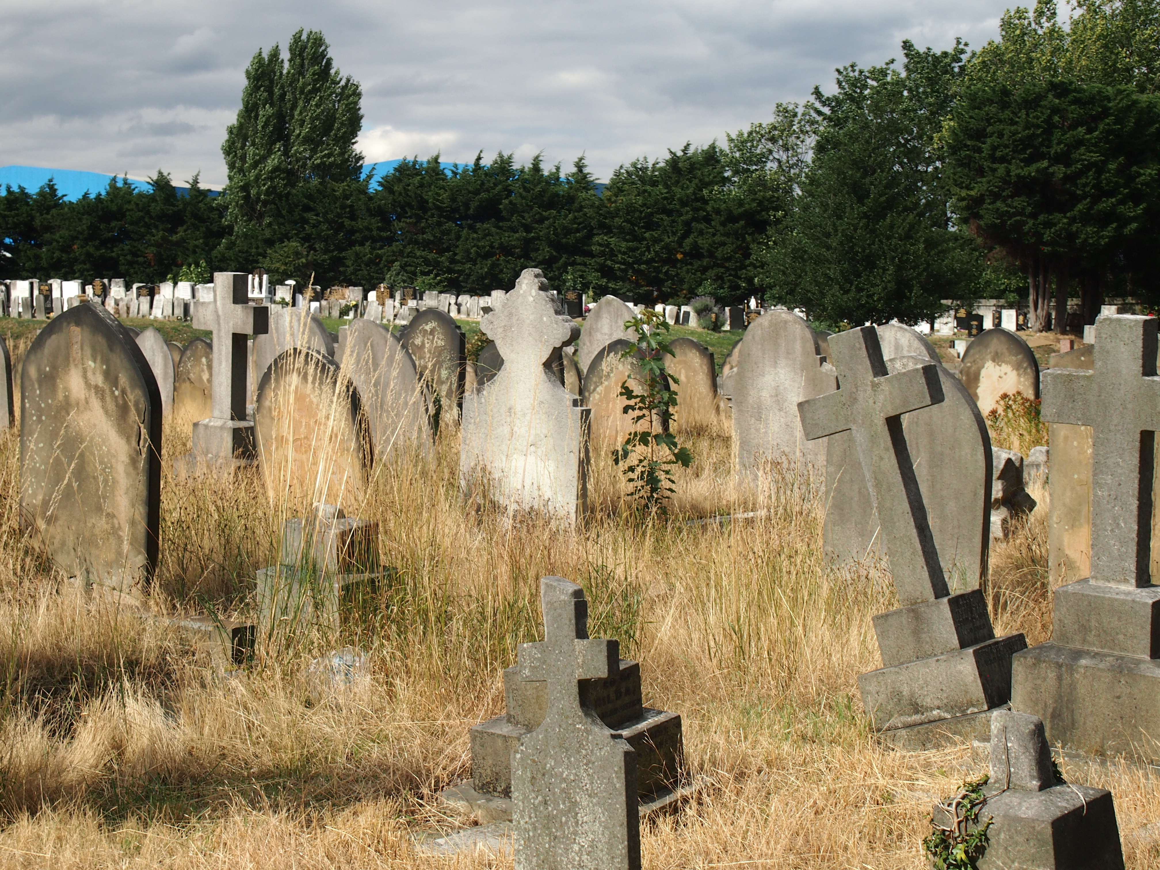 St. Patrick's CemeteryCemetery · 1.2 mi
More archaeology and monuments in North Lanarkshire · All of North Lanarkshire

What do you know about this place?Tap to add a comment or ask a question