
What is recorded here
Three-arch former road bridge, possibly built c. 1500 and possibly partly rebuilt c. 1860, now in use as footbridge. Rubble limestone abutments and spandrels with rebuilt block-and-snecked limestone parapets and dressed granite copings. Round arches, having rubble stone V-cutwaters with concrete capping. Additional flood arch set apart from three primary arches.
A rare survival of a late medieval bridge in the northern suburbs of Dublin, possibly located on the site of earlier structures. Cardiff's Bridge appears on Rocque's map of 1760, but the name derives from a Norman family, Kerdiff, suggesting that the river crossing has a much earlier origin. There is a notable variation in the stonework of the bridge, indicating that the parapets of an earlier bridge have been rebuilt, probably in the late nineteenth century. The bridge remained in full vehicular use until 1979, at which time it was downgraded to a footbridge. During restoration in 1989 a blocked fourth arch was discovered and reopened. The bridge is an important survival of the rich history of the area that is easily overlooked in the current suburban landscape.
This does not grant access. Most recorded buildings are privately owned; view them only from public ground unless the owner allows entry.
Places near here
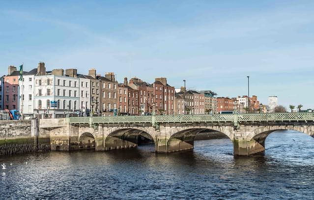 CARDIFFS BRIDGEBridge · 10 yd
 8th Lock, Royal Canallock · 563 yd
 Castle (site of)Castle, unclassified · 796 yd
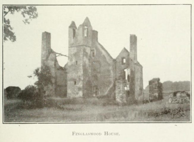 Finglaswood HouseCastle, tower house · 841 yd
 William Rowan Hamilton PlaqueMemorial · 1189 yd
 Fort WilliamHouse, 16th/17th century · 1293 yd
 St Patricks WellHoly well · 1497 yd
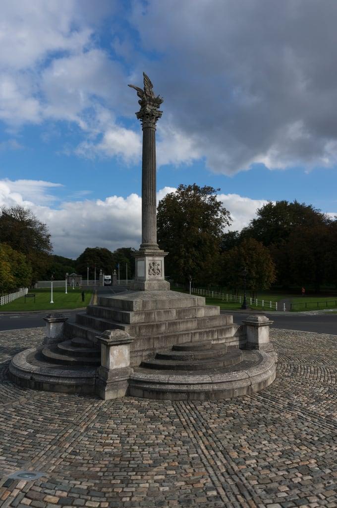 Martin Savage Memorial MonumentMonument · 1553 yd
 ChimpanzeeHeritage attraction · 1.3 mi
 White-crowned mangabeyHeritage attraction · 1.3 mi
 BaldcypressBaldcypress · 1.7 mi
 Dawn RedwoodDawn Redwood · 1.7 mi
Other information
Photo: National Inventory of Architectural Heritage · Website use allowed for educational or private purposes with source credit