
Places near here
Photo credits
- National Inventory of Architectural Heritage
- Nmwood189, Wikimedia Commons · CC BY-SA 4.0
- Dr Wotsit, Wikimedia Commons · CC BY-SA 3.0
- Marathon, Geograph · CC BY-SA 2.0
- andrew mcmillan, Wikimedia Commons · CC BY 3.0
- Mac McCarron, Geograph · CC BY-SA 2.0
 Doon HouseCountry house · 1.1 mi
Explorer Tom Doon House on Lough Corrib is a two-phase house that looks like it had a midlife crisis and added an extension. It…
 bridge2.0 mi
Explorer Tom Bridge in Leam West has strong opinions from the local sheep, who think the iron girdles are just fancy fences for…
 CastlekirkCastle · 2.3 mi
Explorer Tom Castlekirk is called Hen's Castle, and no, I did not name it after my poultry empire. The ruin stands on a tiny…
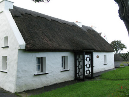 farm house2.6 mi
Explorer Tom Farm house in Letterfore has a curse on it that only affects people who don't wave at it properly. The thatched roofs…
 LackavreaMountain / peak · 2.7 mi
Explorer Tom Lackavrea rises between Lough Corrib and the Maamturks, a Galway summit that seems to have hired every bog in Connemara…
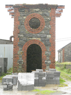 Maam Cross Railway StationRailway station · 2.9 mi
Explorer Tom Maam Cross Railway Station in Lurgan has a secret it would tell after a few pints: the cattle platform was for cows who…
 teacher's house3.6 mi
Explorer Tom The teacher's house in Leam East has had so many names it’s got identity confusion. It retains sash windows that have…
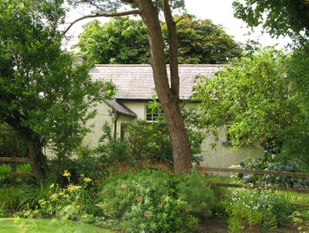 Scoil Náisiúnta an LéimSchool · 3.6 mi
Explorer Tom Scoil Náisiúnta an Léim in Leam East is now a church, which is a weird plot twist that makes me laugh out loud. It’s…
 CorcogemoreMountain / peak · 4.5 mi
Explorer Tom Corcogemore sits at the southern end of Galway’s Maamturk Mountains, looking as if someone set a great stone beehive…
 Screebe WaterfallWaterfall · 4.7 mi
Explorer Tom Screebe Waterfall would totally ace a reality show by screaming louder than anyone else and refusing to share the…
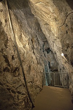 Glengowla MinesHeritage attraction · 5.3 mi
Explorer Tom At Glengowla Mines you swap Connemara's big sky for a hard hat and head into the workings beneath it, where original…
 Alexander NimmoMemorial · 19 mi
Explorer Tom Alexander Nimmo Memorial in County Galway has a secret plan to retire into a nice quiet pub in Scotland. He’s been…
More mountains and hills in County Galway · All of County Galway

What do you know about this place?Tap to add a comment or ask a question