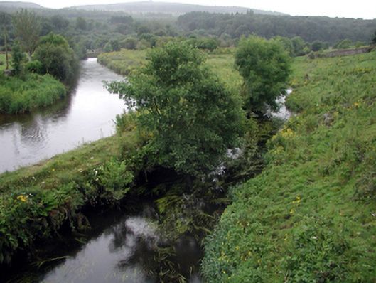
What is recorded here
Section of canal, c.1830, with random rubble stone retaining walls supporting grass banks having outline of tow path to north.
A structure of technical engineering significance, this section of canal, stemming from the Clodiagh River, is a prominent and picturesque feature in the townscape of Portlaw. The canal is of particular importance for its associations with the nearby cotton factory, having been built as a means of delivering supplies to and from the complex. Despite the closure of the cotton factory (which had been replaced by a tannery in the early twentieth century) the canal continues an important function to the present day, serving as a drainage point.
This does not grant access. Most recorded buildings are privately owned; view them only from public ground unless the owner allows entry.
Places near here
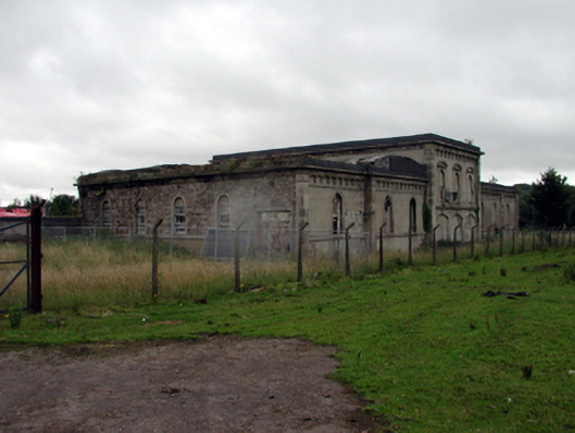 Portlaw Courthousecourt house · 109 yd
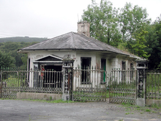 Mayfield Housegate lodge · 180 yd
 Portlaw Heritage CentreMuseum · 314 yd
 Portlaw WoodForest · 1457 yd
 Beallough WoodForest · 1.1 mi
 CastleCastle, unclassified · 1.2 mi
 Donnell's HillMountain / peak · 1.3 mi
 Enclosure in GuilcaghEnclosure · 1.4 mi
 Rockets Castle (in ruins)Castle, tower house · 1.4 mi
 Grave YardGraveyard · 1.5 mi
 Tower HillMountain / peak · 2.6 mi
 Waterford & Suir Valley RailwayHeritage attraction · 4.1 mi
Other information
Photo: National Inventory of Architectural Heritage · Website use allowed for educational or private purposes with source credit