What is recorded here
To the N of a castle site (CO007-039001-) is a shallow linear depression running NE-SW which was described in the late 19th century as a 'shallow rectangular ditch faced with stone'. This may be the remains of the 'handsome canal' referred to by Smith (1750, vol. 1, 306).
The above description is derived from the published 'Archaeological Inventory of County Cork. Volume 4: North Cork' (Dublin: Stationery Office, 2000). In certain instances the entries have been revised and updated in the light of recent research.
Date of upload/revision: 14 January 2009
The monument record does not grant public access. Check the route and ask the landowner before entering private land.
- What survives
- Recorded monument
Places near here
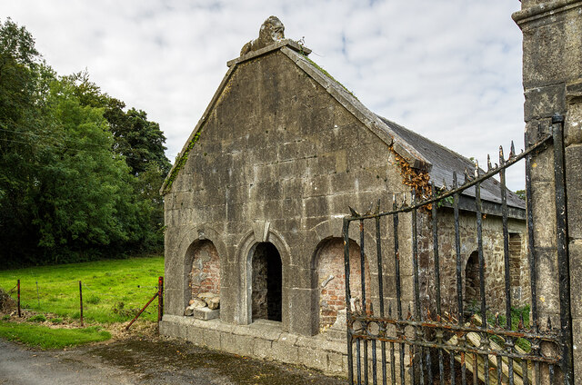 Milltown Castledemesne walls/gates/railings · 241 yd
 Fulacht FiadhFulacht fia · 485 yd
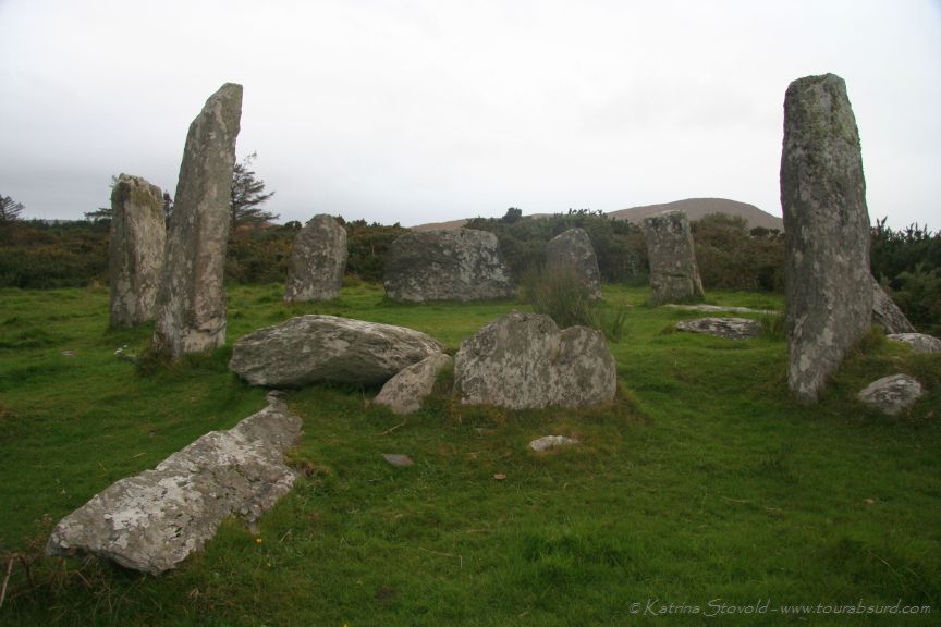 BarrowBarrow, ring-barrow · 1000 yd
 Cloch an Othara HouseHouse, vernacular house · 1280 yd
 CastleCastle, motte · 1.4 mi
 TumulusCastle, motte · 1.7 mi
 Holy Cross CemeteryGraveyard · 2.7 mi
 Windmill HillMountain / peak · 3.3 mi
 Ballyhoura WayWalking route · 3.6 mi
 CarrigeenMountain / peak · 4.7 mi
 BallinaboolaVisitor information · 4.9 mi
 ToberSpring · 5.1 mi