
What is recorded here
A named place photographed at this map point in Bath and North East Somerset.
Claverton Canal Bridge was constructed in the early 19th century as part of the Kennet and Avon Canal system, facilitating transport between the Thames and the Bristol Channel. It is associated with the industrial development of the Bath and North East Somerset area and remains a key example of early canal engineering in England.
Places near here
 Bridge Over A Leat to South of Claverton Pumping StationListed building · 182 yd
 Claverton Pumping StationListed building · 216 yd
 Claverton Village from Warleigh WoodForest or wood · 310 yd
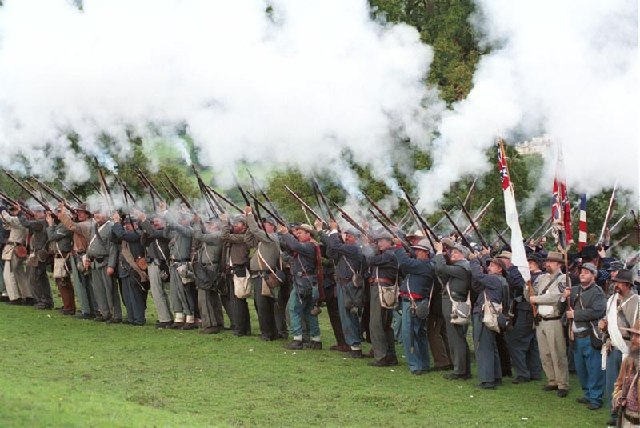 Civil War reenactment at American Museum, BathHeritage place · 751 yd
 Hengrove WoodWood · 1039 yd
 Standing Stone on Claverton Down, BathAncient stone or rock art · 1268 yd
 Cave in Bushy NorwoodCave or cavern · 1587 yd
 Cave entrance, Brown's Folly Nature ReserveCave or cavern · 1.2 mi
 Bathampton DownMountain / peak · 1.2 mi
 Ralph Allen’s Sham CastleCastle · 1.6 mi
 Sham Castle, BathCastle, fort or tower · 1.6 mi
 Statue in front of towerMonument or public art · 1.7 mi
Other information
Photo: Derek Harper · CC BY-SA 2.0