Places near here
Photo credits
- Kenneth Allen, Wikimedia Commons · CC BY-SA 2.0
- Golfing in Ireland; photographer not stated, Source publisher
- Kenneth Allen, Geograph · CC BY-SA 2.0
- Kmcnamee, Wikimedia Commons · CC BY-SA 4.0
- Des Colhoun, Wikimedia Commons · CC BY-SA 2.0
 Church of the Good ShepherdChurch · 1745 yd
Explorer Tom Church of the Good Shepherd in Liggartown is planning what it would do with a lotto win, probably buying every sheep in…
 Presbyterian ChurchChurch · 1.1 mi
Explorer Tom Presbyterian Church in Sion Mills wants its tombstone to say, 'I stood here while the world changed, and I didn't even…
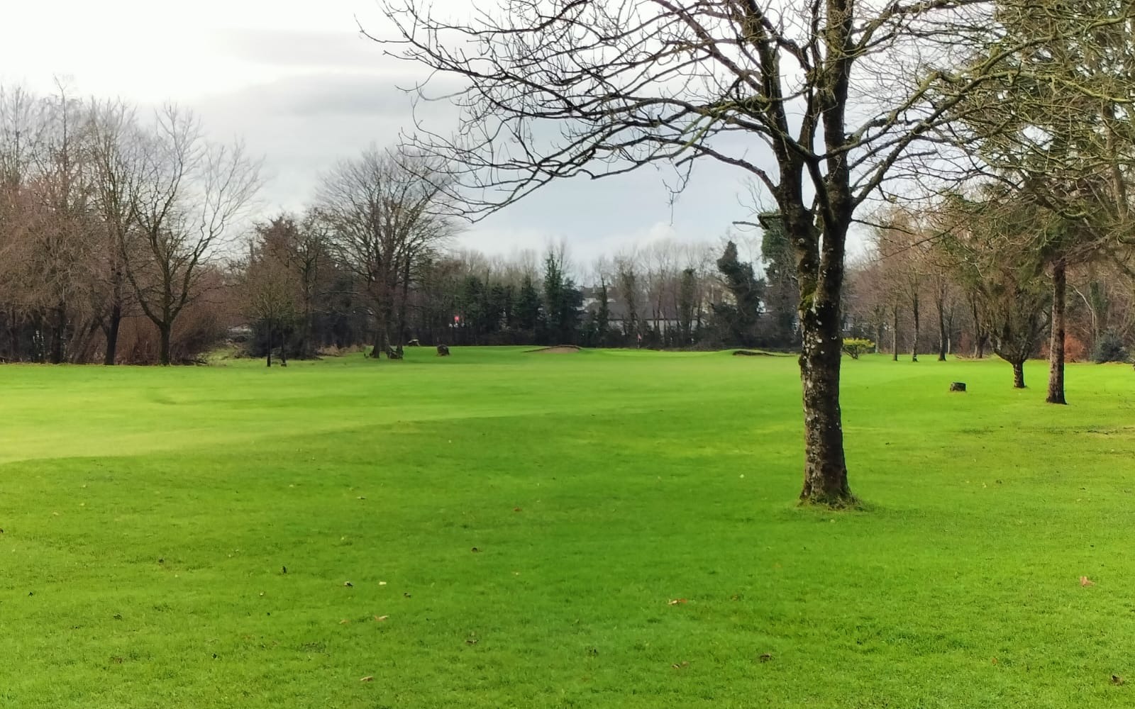 Strabane Golf ClubGolf course · 3.0 mi
 Standing stone in KilleenStanding Stone · 3.1 mi
Explorer Tom Standing stone in Killeen is two and a half metres tall and standing right by the hedge like a sentry. If it won the…
 Sigerson Park, Strabane ShamrocksGAA ground · 3.3 mi
 Battle site: in 789 AD & battle of the fords , Southern crossing, 1689 in Clady; DonnygowanBattle site: in 789 AD & battle of the fords , Southern crossing, 1689 · 3.7 mi
Explorer Tom Battle site: in 789 AD & battle of the fords, Southern crossing, 1689 in Clady has been waiting for a prophecy to come…
 Gray PrinterHeritage attraction · 3.7 mi
Explorer Tom Gray Printer is sitting in the square looking like it’s got a long-standing grudge against the weather and your fashion…
 Castle in Town Parks of StrabaneCastle · 3.8 mi
Explorer Tom This castle in Strabane Town Parks would tell you in a job interview that it has excellent stability and long-term…
 Battlefield in Cloghfin (castlefin Ed)Battlefield · 3.8 mi
Explorer Tom Battlefield in Cloghfin is actually run by a terrier named Buster who barks at anyone who steps too close to the old…
 Birdstown Standing StonePublicly named standing stone · 4.0 mi
Explorer Tom Birdstown Standing Stone might be a very tall rock that birds use as a secret landing pad. I bet they land there to…
 Fearn HillMountain / peak · 4.0 mi
Explorer Tom Fearn Hill sits in County Donegal with its access details completely unknown to the mapmakers. The only clue is a…
 Abercorn FactoryHeritage attraction · 4.0 mi
Explorer Tom Abercorn Factory is like the uncle at a wedding who knows how to make shirts but can’t stop talking about his days in…
More historic places in County Tyrone · All of County Tyrone

What do you know about this place?Tap to add a comment or ask a question