
What is recorded here
Map note: Campbeltown Loch appears on the map as a bay near Kildalloig, Argyll and Bute, Scotland. The name sounds like a good excuse to explore the nearby coast on the map.
Places near here
Photo credits
- Leslie Barrie, Wikimedia Commons · CC BY-SA 2.0
- Bob Jones, Wikimedia Commons · CC BY-SA 2.0
- J M Briscoe, Wikimedia Commons · CC BY-SA 2.0
- Maker not stated on source page, tr.pinterest.com
- Maker not stated on source page, www.tripadvisor.com.ph
- Mick Garratt, Wikimedia Commons · CC BY-SA 2.0
- Maker not stated on source page, www.flickr.com
- Maker not stated on source page, www.explore.com
- Calum McRoberts, Wikimedia Commons · CC BY-SA 2.0
- Alpin Stewart, Wikimedia Commons · CC BY-SA 2.0
- Maker not stated on source page, en.wikipedia.org
 BaraskomillStructure · 338 yd
 CampbeltownNo Class (event) · 368 yd
 Trench PointCairn (prehistoric) (possible), Cist(s) (prehistoric) (possible) · 560 yd
Explorer Tom Trench Point might have prehistoric cairns and cists, or it might just be rocks that look like they do because of…
 Streatlam Castle: Trench Point, Campbeltown Harbour, Kintyre, Firth of ClydeBrig (19th Century) · 579 yd
 Espiegle: the Doirlinn, Island Davaar, Campbeltown Loch, Firth of ClydeCraft (19th Century) · 905 yd
 Kildalloig BayConcrete Block(s) (early 20th Century) · 1093 yd
 Diana: Island Davaar, Campbeltown Loch, Firth of ClydeSloop (19th Century) · 1109 yd
 Campbeltown, Low Askomill WalkHouse (post Medieval) · 1325 yd
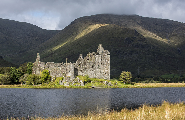 Kilkerran CastleCastle (medieval) · 1519 yd
Explorer Tom Kilkerran Castle in Argyll and Bute is a medieval ruin. I bet it’s got some great moss growing on the walls. If you…
 Davaar HouseHouse · 1573 yd
 Kilkerran CemeteryCemetery · 1.0 mi
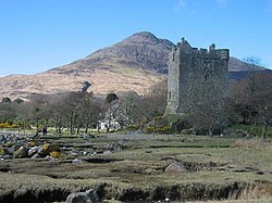 Moil CastleCastle (medieval) · 1.0 mi
Explorer Tom Moil Castle in Argyll and Bute is another medieval castle hiding out. It’s probably quiet now, but back then it was all…
More cliffs, bays and coast in Argyll and Bute · All of Argyll and Bute

What do you know about this place?Tap to add a comment or ask a question