
What is recorded here
Camillaun Island, also called Holy Island, sits in Lough Corrib beside a submerged stone causeway that joins it to Oak Island. The hidden bridge spans twenty-five to thirty metres, barely twenty centimetres below the water, yet large flat boulders mark its end as though people had built a crossing rather than left rubble behind. When the lake declines, the stones reappear, reminding the water that the island was never meant to be reached only by boat.
Camillaun Island is recorded as a islet in County Mayo. Its open map record supplies this location and any linked names or public references.
Places near here
 Otter IslandIslet · 1028 yd
 Ballycurrin CastleCastle · 1398 yd
 Ballycurrin LighthouseRuins · 1473 yd
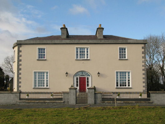 Ballycurrin Housecountry house · 1484 yd
 Inis BóinneIslet · 1691 yd
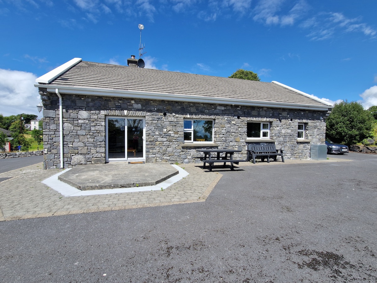 IndicatedFairy fort / earthen ringfort · 1.3 mi
 TobernagleedahHoly well · 1.3 mi
 Site of CastleCastle, unclassified · 2.0 mi
 Ard na GaoitheHeritage attraction · 4.2 mi
 BallynacreggaWood · 4.2 mi
 Ross Errilly FriaryHeritage attraction · 4.2 mi
 Japanese cedarJapanese cedar · 4.2 mi
Other information
Photo: Credit not shown in the picture search · Rights wording not checked; contact us if this picture should be removed