
What is recorded here
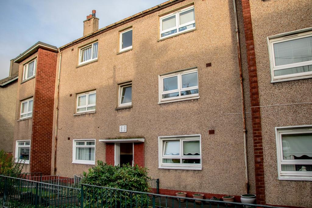
Cambuslang, Hunterfield Drive is a barrage balloon site in South Lanarkshire, Scotland.
Places near here
Photo credits
- Maker not stated on source page, yandex.ru
- Maker not stated on source page, en.wikipedia.org
- Richard Webb, Wikimedia Commons · CC BY-SA 2.0
- Maker not stated on source page, www.dailyrecord.co.uk
- Maker not stated on source page, www.pinterest.com
- Maker not stated on source page, www.flickr.com
- Stephen Sweeney, Wikimedia Commons · CC BY-SA 2.0
- Richard Sutcliffe, Wikimedia Commons · CC BY-SA 2.0
- Iain Thompson, Wikimedia Commons · CC BY-SA 2.0
 Rutherglen, Cathkin HotelBoundary Marker · 395 yd
 Rutherglen, Lochaber Drive, St Anthony's Roman Catholic ChurchChurch (20th Century) · 601 yd
 Glasgow, Cambuslang, Brownside Road, West Coats Primary SchoolSchool (19th Century) · 606 yd
 Cambuslang, 2 Glasgow Road, Trinity Parish Church, HallChurch Hall (19th Century) · 938 yd
 Cambuslang, 2 Glasgow Road, Trinity Parish ChurchChurch (late 19th Century) · 962 yd
 Cambuslang, Glasgow Road, West ChurchChurch (19th Century) - (20th Century) · 988 yd
 Cathkin WoodsWood · 1079 yd
 Queen Mary's SeatViewpoint · 1.2 mi
 Big WoodWood · 1.5 mi
 Remains of Mitchell Hill High Flats, CastlemilkMountain or hill · 1.8 mi
 East Kilbride, NerstonNo Class (event) · 2.1 mi
 Highflat FarmNo Class (event) · 2.1 mi
More archaeology and monuments in South Lanarkshire · All of South Lanarkshire

What do you know about this place?Tap to add a comment or ask a question