What is recorded here
On a hillock, close to a stream in undulating pastureland. Poorly preserved subcircular enclosure (62m NE-SW; 56m NW-SE) defined by bank (Wth 1.9m; base Wth 8.9m; int. H 0.5m; ext. H 2.2m) from SSE to S and from NW to NNW; elsewhere a scarp forms the enclosing element. A gap at S appears to be modern. There is a children's burial ground (GA100-067001-) in the E half of the interior.
Compiled by: Galway Archaeological Survey, UCG
Date of upload: 22 February 2019
The monument record does not grant public access. Check the route and ask the landowner before entering private land.
- What survives
- Recorded monument
Places near here
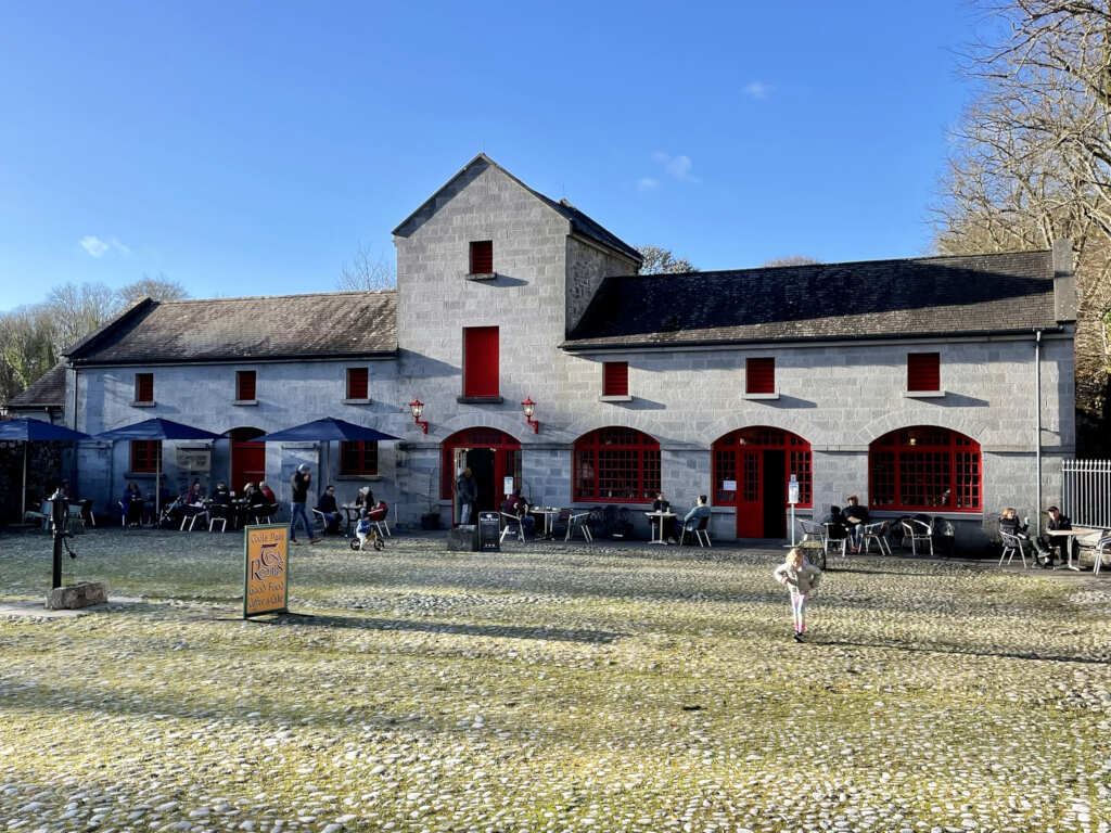 Caltraghgarraun FortFairy fort / earthen ringfort · 524 yd
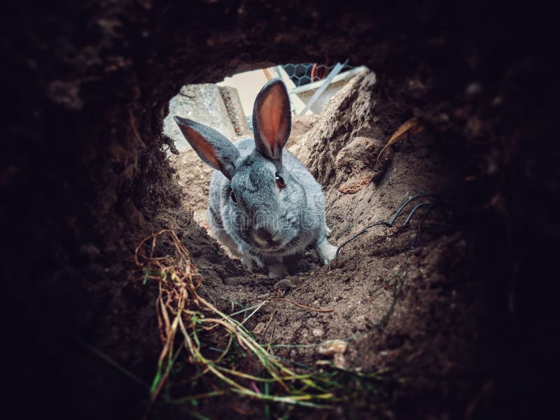 Rabbit BurrowFairy fort / earthen ringfort · 620 yd
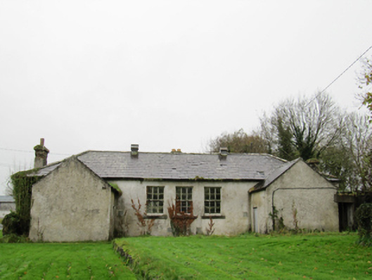 Clontuskert National Schoolschool · 1436 yd
 IndicatedHouse, vernacular house · 1574 yd
 European BeechEuropean Beech · 1.3 mi
 European YewEuropean Yew · 1.6 mi
 Oghil Castle (in ruins)Castle, tower house · 1.9 mi
 Ballagh Castle (in Ruins)Castle, unclassified · 2.2 mi
 Ardcarn IslandsIslet · 3.0 mi
 Urraghry HillMountain / peak · 3.5 mi
 The bloody HollowHeritage attraction · 4.0 mi
 Battle of AughrimMajor battlefield · 4.3 mi